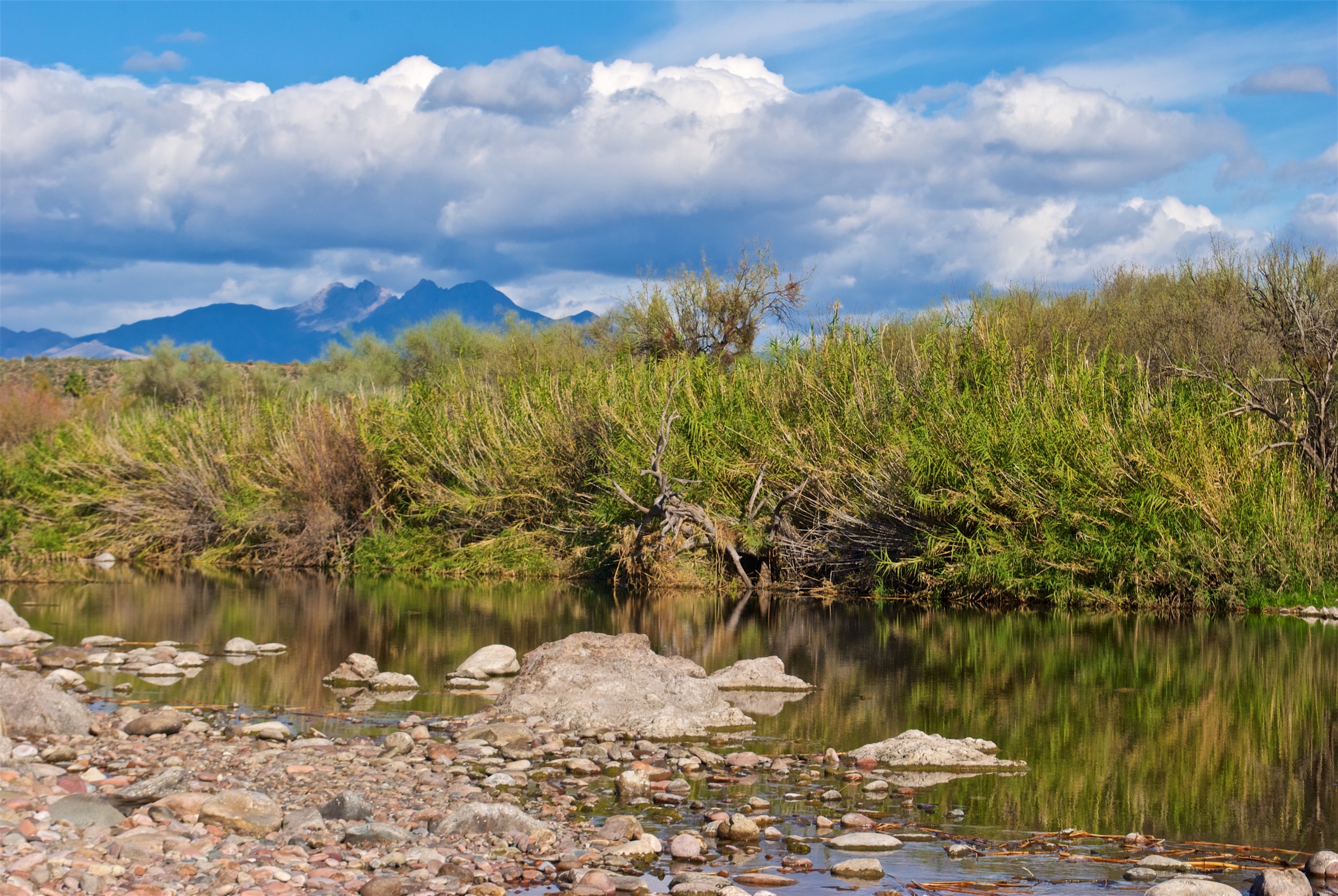
Nestled deep in the Tonto National Forest’s Superstition Wilderness sits one of Arizona’s most famous landmarks: Four Peaks. Four Peaks was one of the most well-known and most used landmarks of settlers, gold prospectors, and Native Americans when they passed through the Superstition Mountains hundreds of years ago. Today, Four Peaks is on the Arizona license plate, and also has a brewery in Tempe named after it.

Getting to the Trailhead
Access to the Brown’s Peak trail is off of Highway 87. To get to the trailhead, you need to drive about 30 miles down a poorly-maintained dirt road. You’ll wind from the desert floor up through the mountains to the trailhead, which sits at about 5,500 feet. You will need a vehicle with high clearance. The road is rutted, torn up in places, crosses several dry creek beds and washes.
The trail is between 2 and 3 miles long. At 7,600 feet above sea level, Brown’s Peak is the highest point in Maricopa County. The first 90% or so of the trail is a nice gentle incline that makes for a spectacular hike. It brings you to the bottom of the infamous scree chute.

Climbing the Infamous Scree Chute
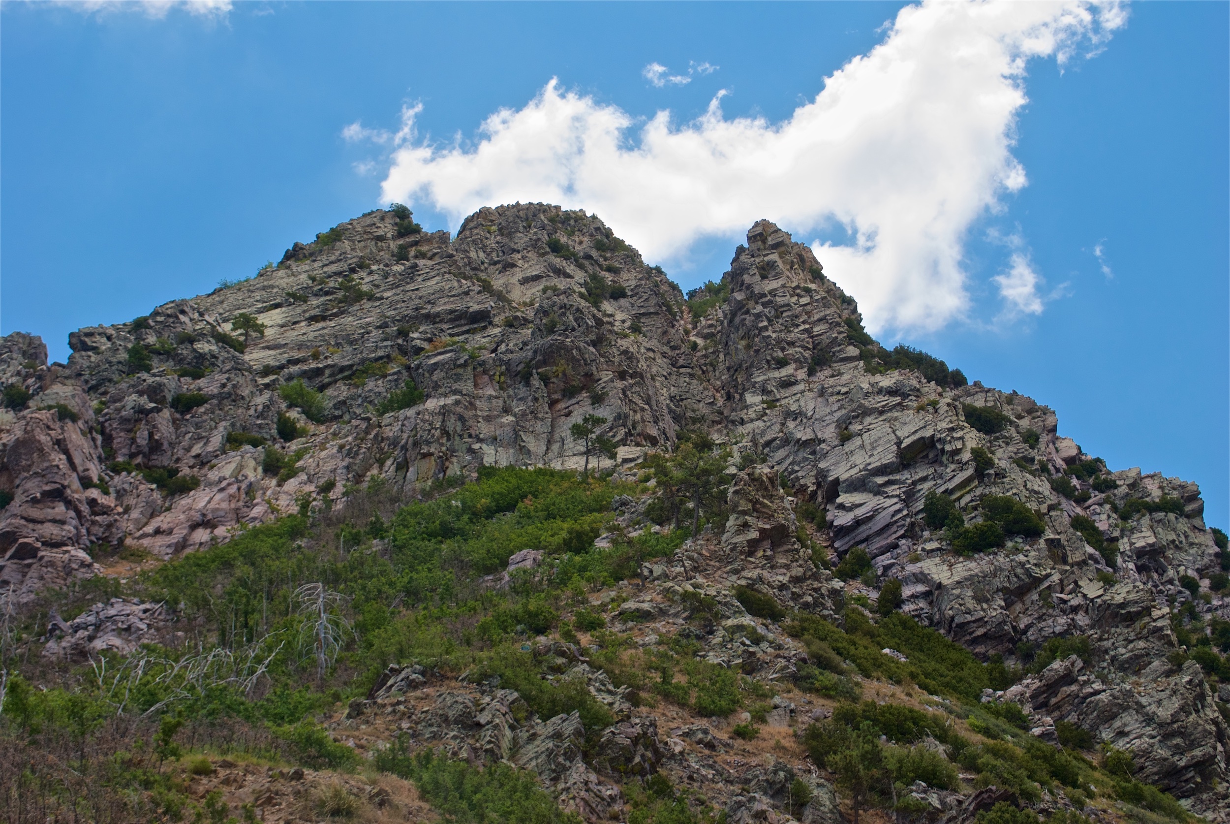
Depending on the exact guide book you’re reading, the climb up the scree chute gains somewhere between 200 and 600 feet of elevation. When you climb it, you’re so focused on the climb that it’s hard to tell, but my guess is that it’s somewhere in between the two. The scree chute is the highest rated climb for which you don’t need any special climbing gear. It’s a lot of scrambling, and it’s actually a really good full body workout.
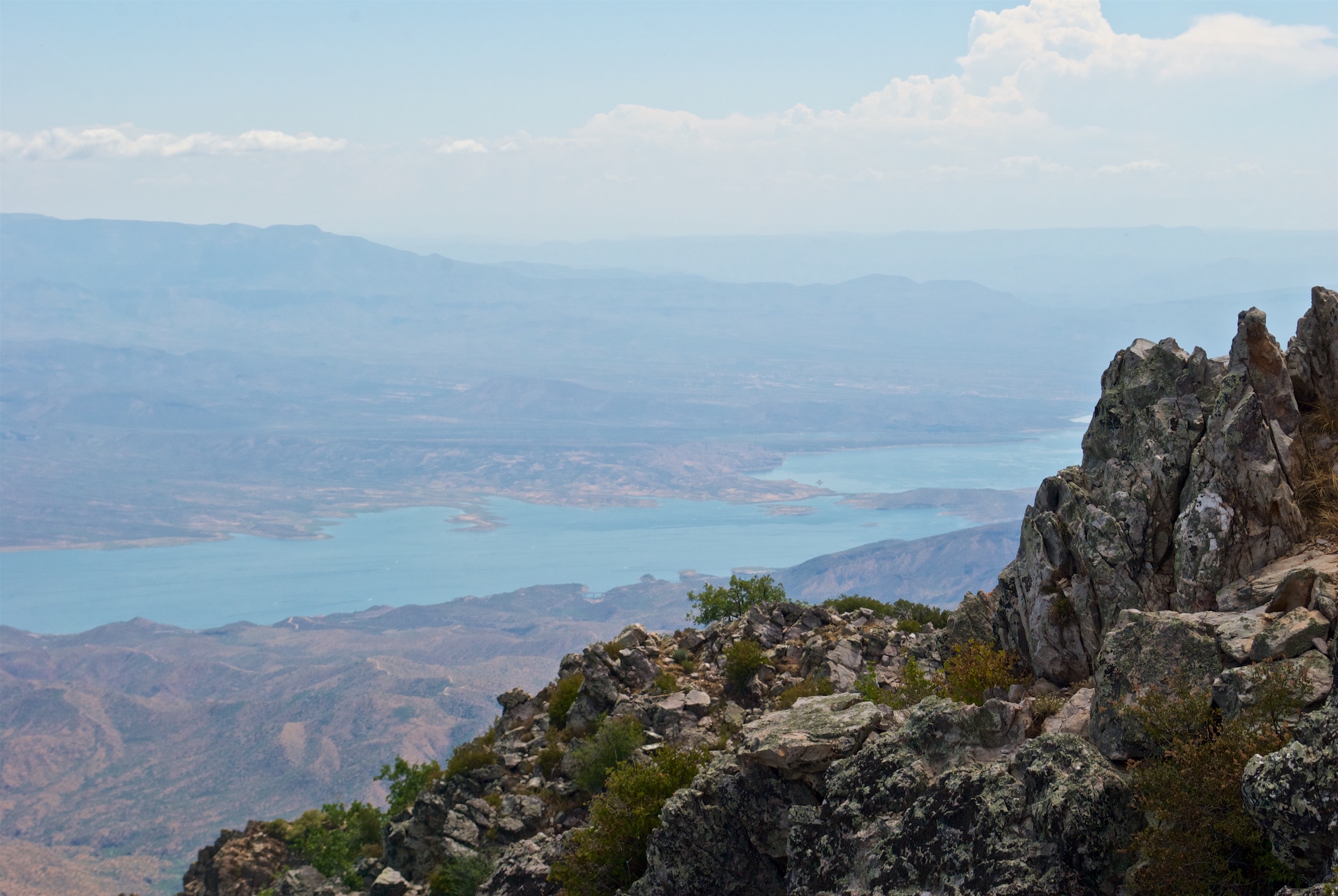
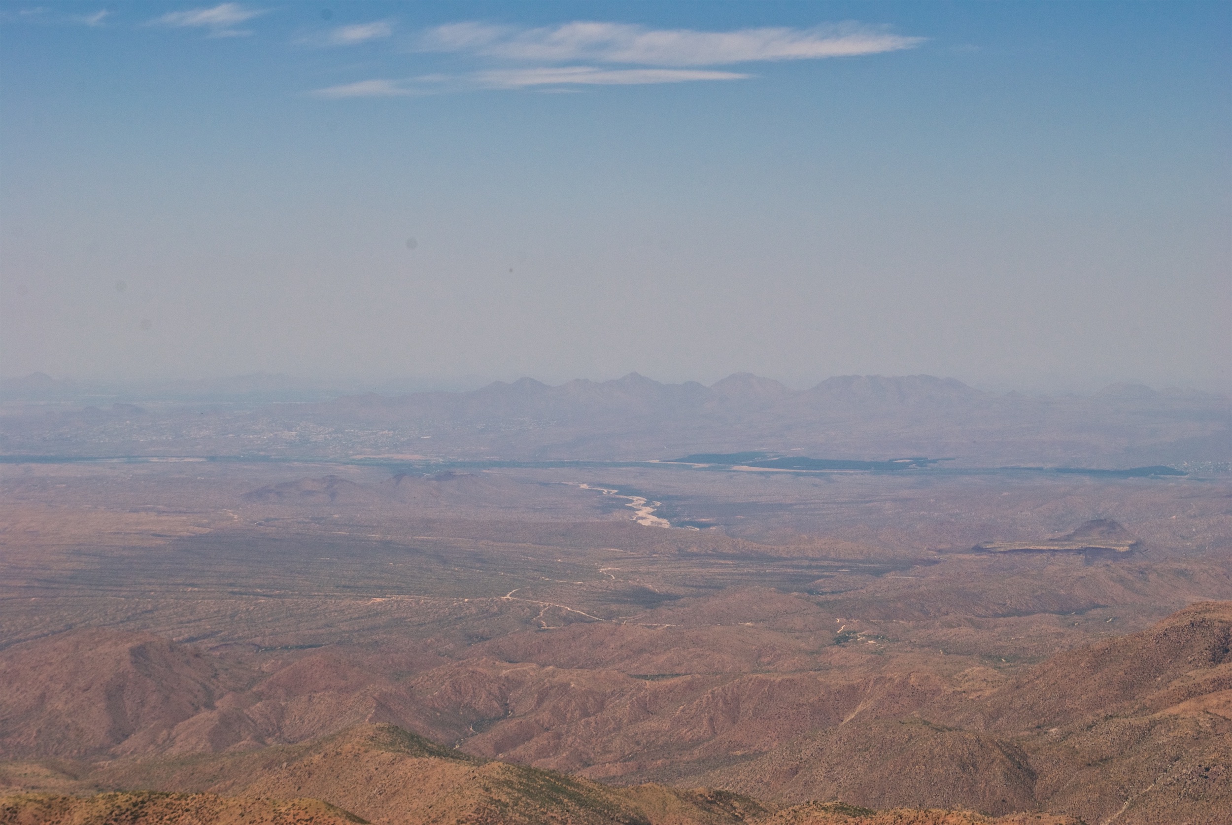
It took us about 45 minutes to climb the scree chute. The views from the top are beyond spectacular. 70 to 75 degree temperatures felt so refreshing compared to the near 110 degree temperatures down in the city. On a clear day, you can see nearly 1/4 of the state. It was quite hazy when we were up there, and we could still see both Phoenix and Flagstaff. Well, actually the San Francisco Peaks just north of Flagstaff.

