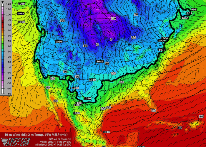
A big blast of arctic air is set to invade the Great Plains the next few days, bringing the chance for winter precipitation to parts of the region. I am not expecting this to be a significant storm, but it will bring very cold temperatures and the chance of all […]
Read MoreArticles by: Matt Gove
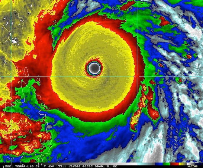
Extreme Weather Slams Parts of the Far East
I have been away from the blog for a few weeks due to being sucked into the baseball playoffs (Go Sox!) and being off on some photography adventures, as the fall colors have been peaking here in Oklahoma over the past couple weeks. I am back now and will be […]
Read MoreBig Cool Down Coming to Much of the Continental US
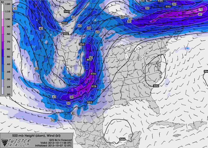
Well, it appears fall is finally arriving to much of the continental US. A strong upper level low is slowly moving east across the northern US, dragging a strong cold front behind it. While it will not be a crushing winter storm like we recently saw in South Dakota, some […]
Read MoreWeekly Severe Weather Outlook: October 7, 2013
With the beginning of the fall or “second” severe weather season here on the Great Plains, coupled with the tropics remaining quiet, I am going to shift this week’s discussion from the tropics back closer to home and talk about severe weather. The fall severe weather season started quite emphatically […]
Read MoreDirt Road Adventures: Antelope Hills
Overview Now nestled on the western plains of Oklahoma, the Antelope Hills were once a significant landmark for both the Plains Indians and the western settlers, as they marked the international border between the United States and Mexico. They sit in one of the most scenic locations in the entire […]
Read MoreWeekly Tropical Weather Outlook: September 30, 2013
Once again, the tropics have gone quiet, with no indication of any significant activity over the next week. Models are indicating that high pressure will dominate the central and southern North Atlantic, preventing organized convection and thunderstorm activity. Longer-term models are showing that high pressure becoming stronger in the next […]
Read MoreWeekly Tropical Weather Outlook: September 23, 2013
After a brief uptick in tropical cyclone activity in the past two weeks, the outlook for this week looks very quiet for both the Atlantic and Eastern Pacific basins. As we saw earlier this summer, a strong area of high pressure will set up over the south-central Atlantic, and the […]
Read MoreMay 31st El Reno Tornado May Be the Most Powerful Tornado Ever Recorded
Just a few weeks after the National Weather Service downgraded the May 31, 2013 El Reno, Oklahoma tornado from EF-5 to EF-3, a research paper published this week suggested that this tornado may be the largest most powerful (note that I say powerful, not destructive) tornado ever recorded, having been […]
Read More2 Things You Probably Didn’t Know About Lightning (and 1 You Probably Did)
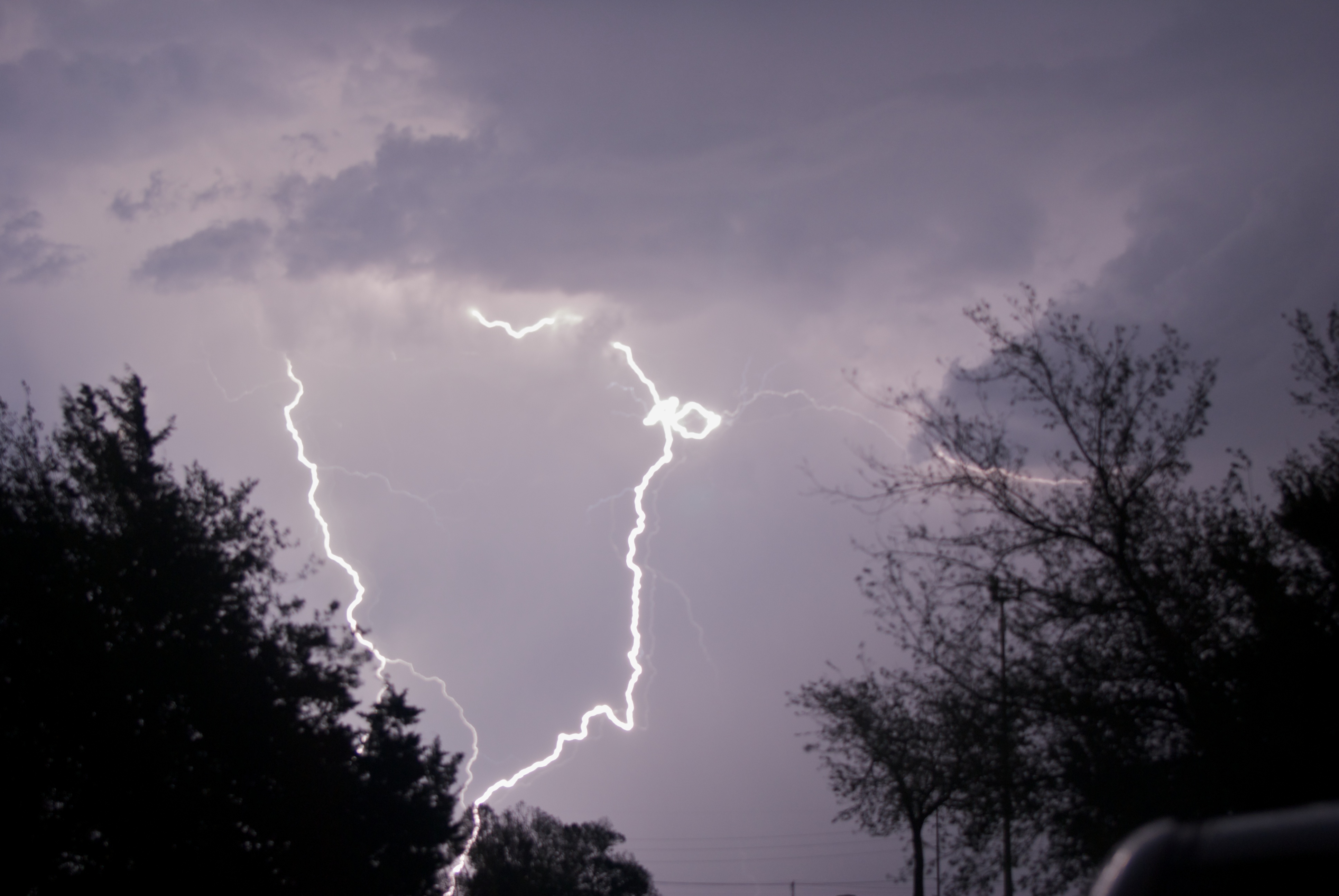
Have you ever been watching a thunderstorm and witnessed someone counting the seconds between the lightning and the thunder (or even counted yourself)? You probably know that you can determine how far away the lightning strike was from the length of time between the lightning flash and the thunder clap. […]
Read MoreWe Have Our First Atlantic Hurricane of 2013
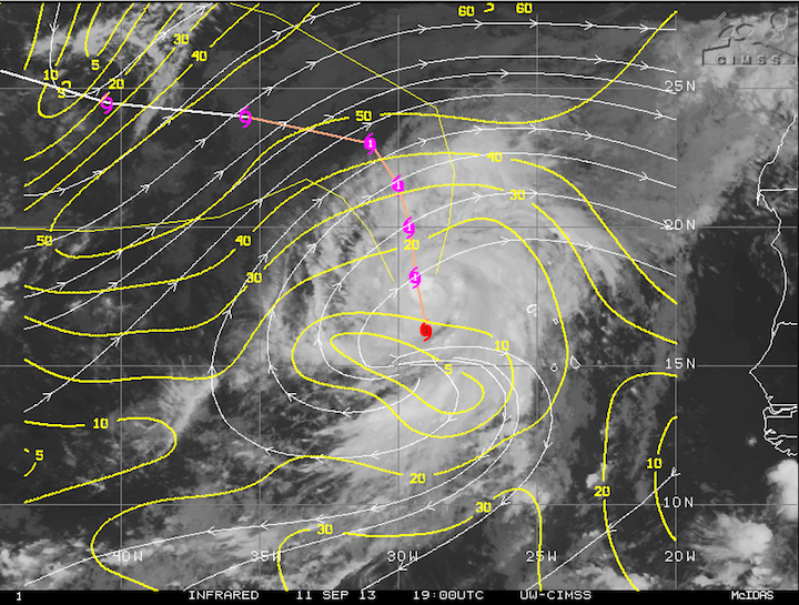
We officially have our first hurricane of the 2013 Atlantic season. Earlier this morning, Humberto was upgraded to a hurricane, coming within a few hours of the Atlantic record for latest first hurricane. Humberto currently sits over the far eastern Atlantic, right off the west coast of Africa, and is […]
Read MoreWhy the May 31st El Reno Tornado was Downgraded to EF-3
The deadly tornado that ripped through Canadian County, OK on May 31st has been downgraded back to EF-3 on the Enhanced Fujita Scale. Back in early June, the National Weather Service initially rated the tornado EF-3 after surveying the damage, but after receiving data from several doppler radars in the […]
Read MoreQuiet Weather Pattern to Settle In for the Remainder of August
Large Scale Setup/Discussion A large ridge of high pressure, or heat dome, has begun to set up over the central US this week, and will be strengthening as we head into this weekend and early next week. As a result, the main branch of the jet stream has been pushed […]
Read More