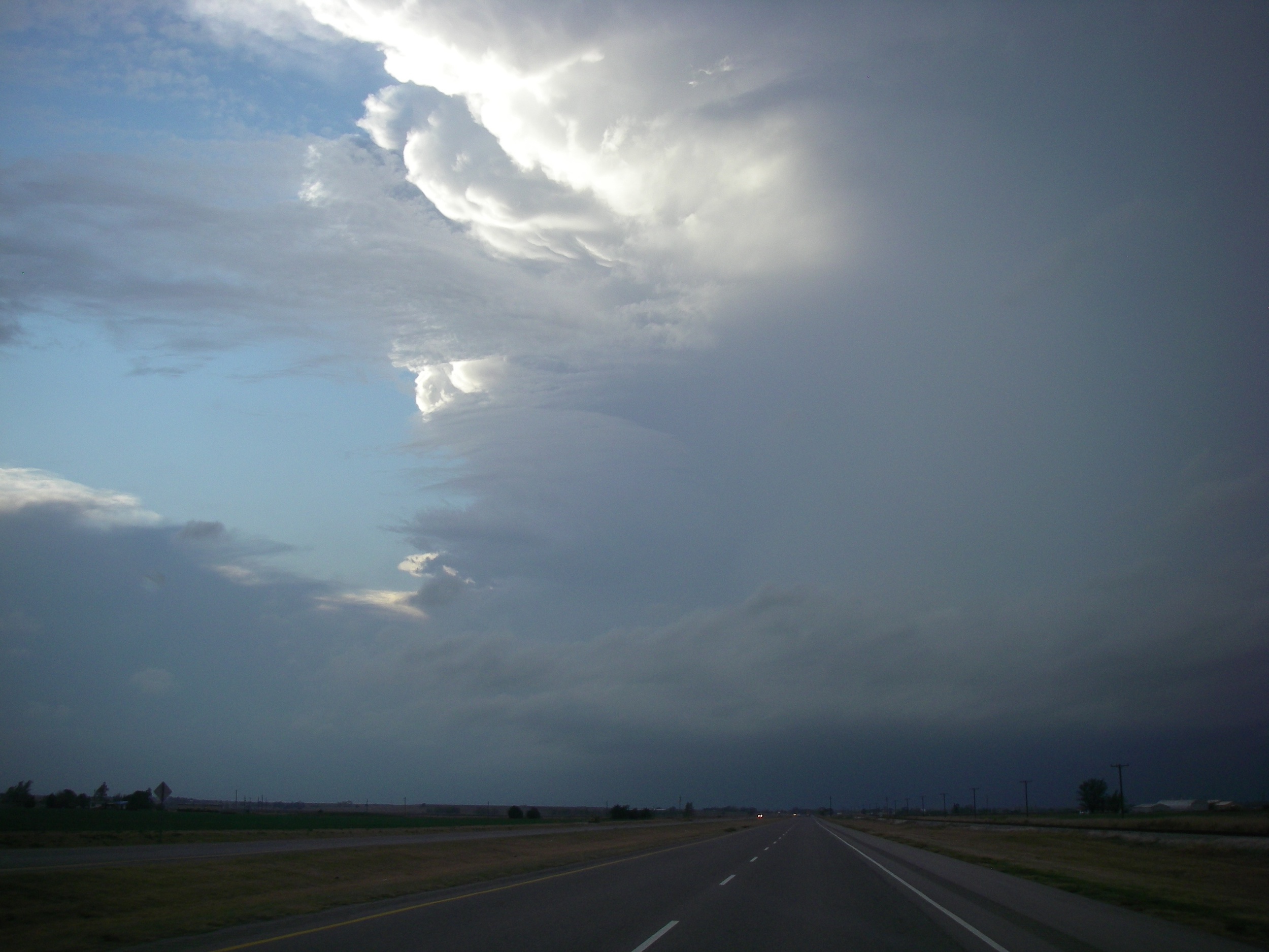
FORT COBB, OK — Tornadoes and severe thunderstorms broke out across southwest Oklahoma, netting me my first tornado since March and gave me at least one last chase before the winter sets in. The SPC had been forecasting this event since the end of last week, so I knew the […]
Read MoreArticles by: Matt Gove
Summer Chase Season Finally Starts
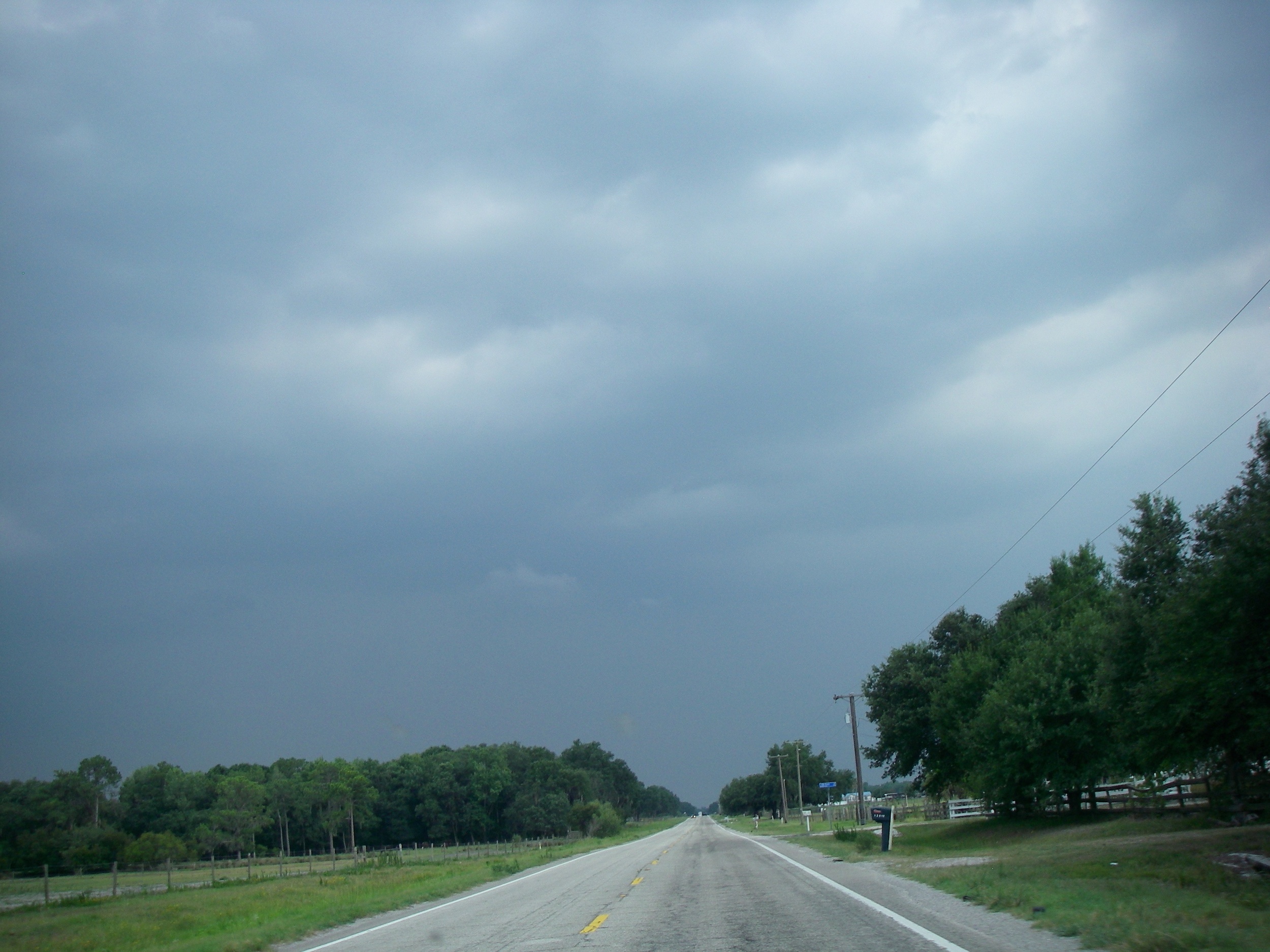
KEYSVILLE, FL — After 5 weeks of nothing but dry weather across South Florida after I got back from Oklahoma, the 2011 Summer Storm Chasing Season finally got underway this afternoon. After careful analysis of the models this morning, I honed in on a target of northeast Manatee County and […]
Read MoreVisit to the Site of the May 10, 2010 Lake Thunderbird Tornado
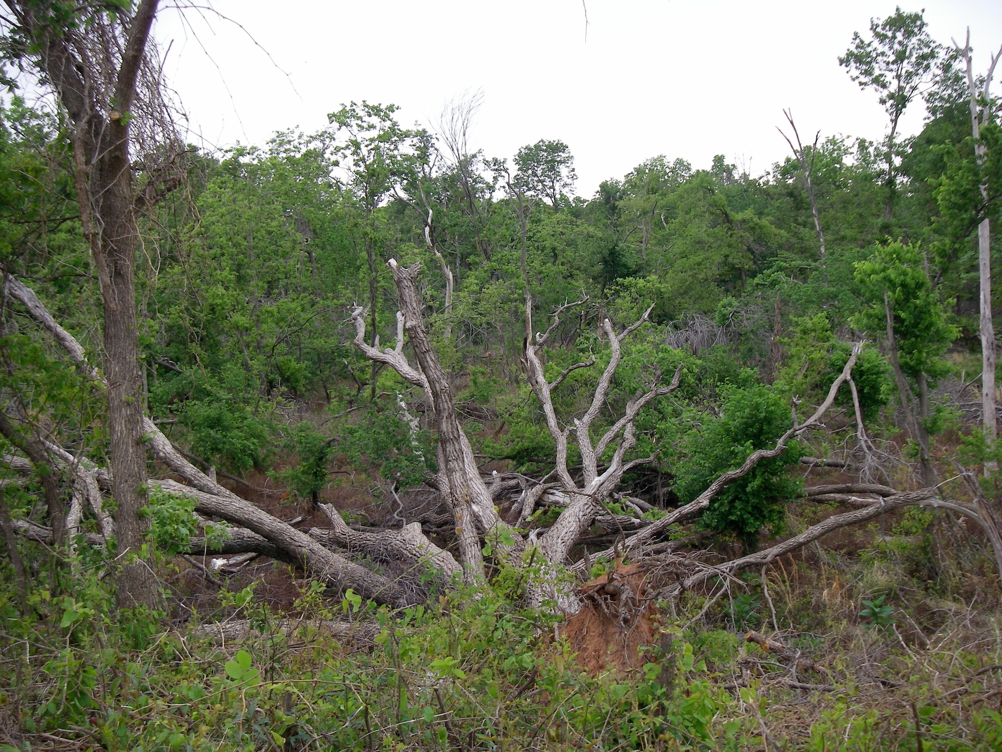
NORMAN, OK — On a cold, cloudy Oklahoma morning with no storms forecast, I decided to go see one of the damage sites from the EF4 tornado that hit Lake Thunderbird on May 10, 2010. The marina that suffered a direct hit from the twister (and was destroyed) has been […]
Read MoreHailstorm Intercepted at the Oklahoma State Line
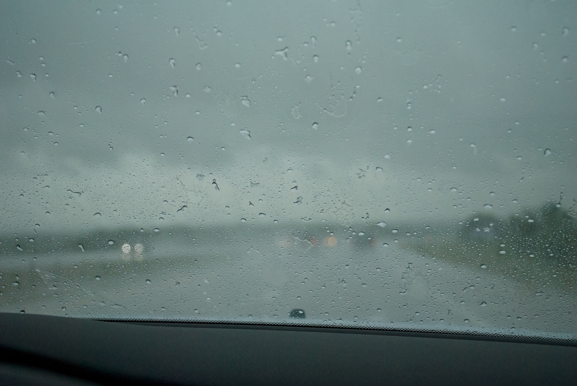
MARIETTA, OK — A pretty intense thunderstorm greeted us on Interstate 35 near the Oklahoma state line on Sunday. A cold front had been sitting over northeast Texas, just north of Dallas. Storms were initiating to the west of I-35 and moving northeast. While there was a Tornado Watch and […]
Read MoreWest Florida Tornado Outbreak
TAMPA BAY, FL — 9 tornadoes broke out this past Thursday in Pinellas, Hillsborough, and Polk Counties, leaving heavy damage in Largo, South Tampa, and Lakeland. For me, it was an epic day of storm chasing and spotting. The Storm Prediction Center had been calling for a severe weather outbreak […]
Read MoreExtreme Cold Front Packs 100 mph Winds
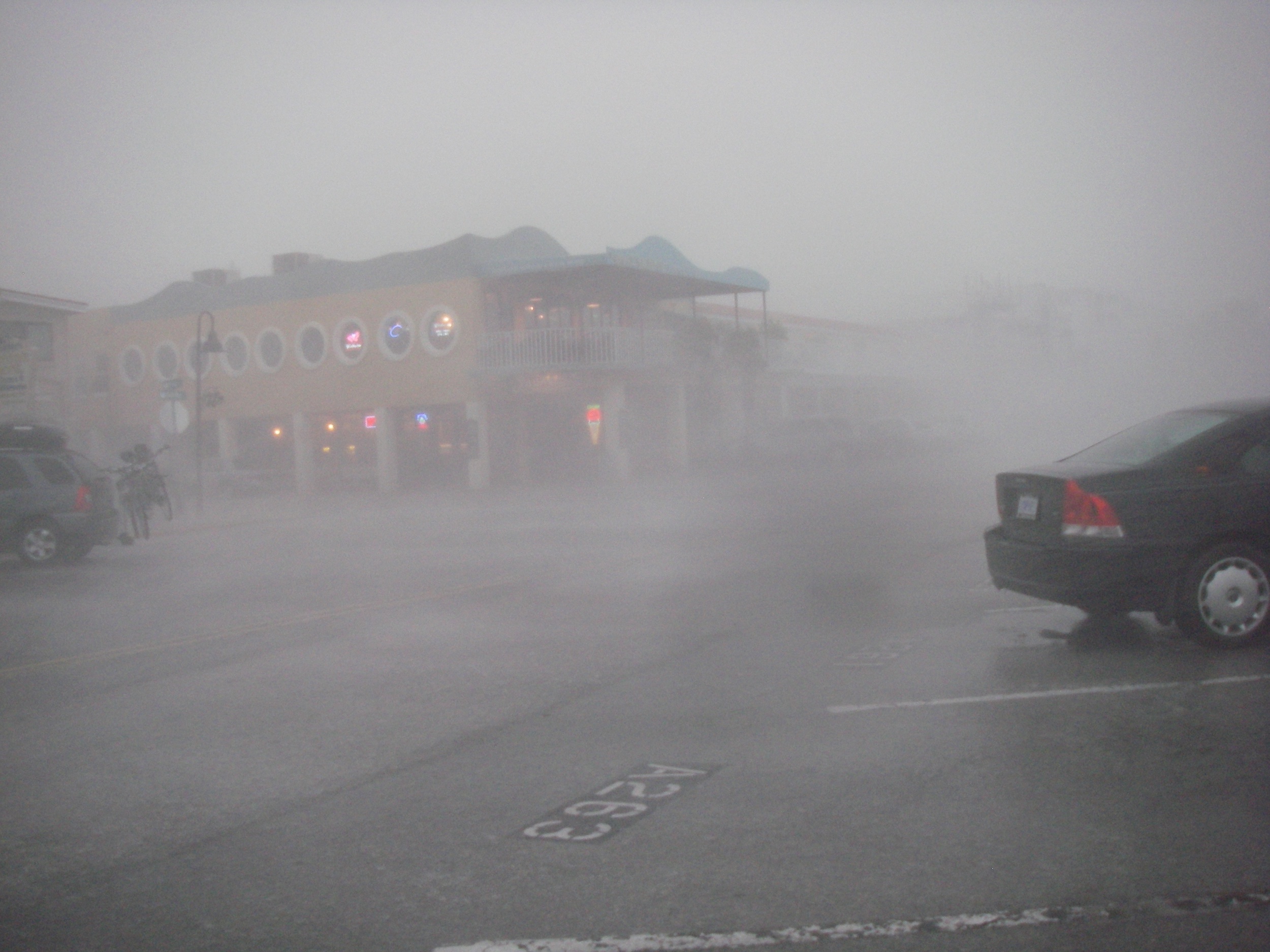
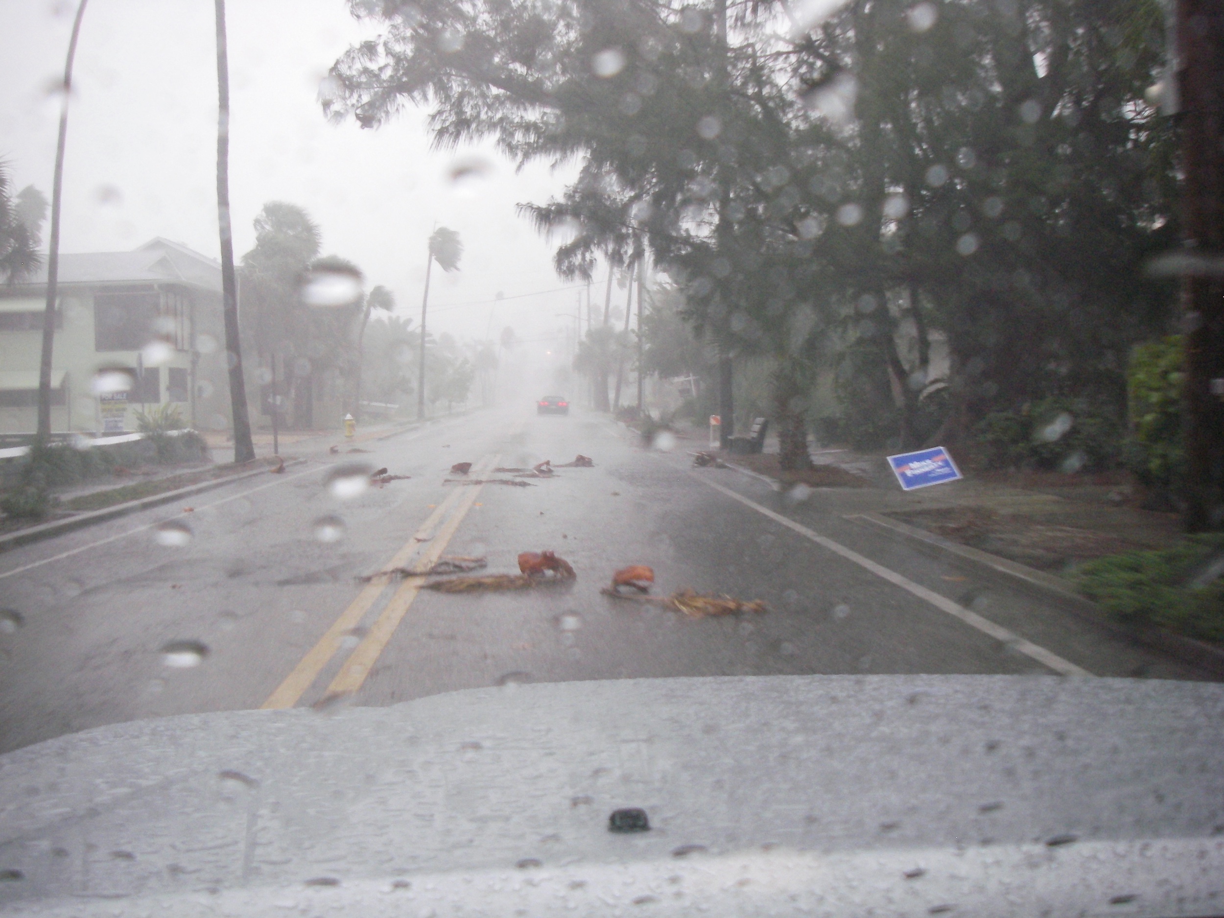
ST. PETE BEACH, FL — One of the best setups I’ve seen in years brought an historic severe weather outbreak to the Florida Peninsula on Tuesday, with stories making national headlines. St. Petersburg was ground zero for the most extreme winds, as estimated sustained winds of 90 mph collapsed a […]
Read MoreTornadoes Start 2011 Off Fast
ST. PETERSBURG, FL — 2011 has officially started, highlighted by an intercept of a powerful severe thunderstorm at my favorite spot, the Pinellas Point Boat Ramps. A warm front lifted through the Tampa Bay area overnight and stalled before starting to slowly sag back to the south. All of the […]
Read MoreChristmas Noreaster Pounds Southern New England
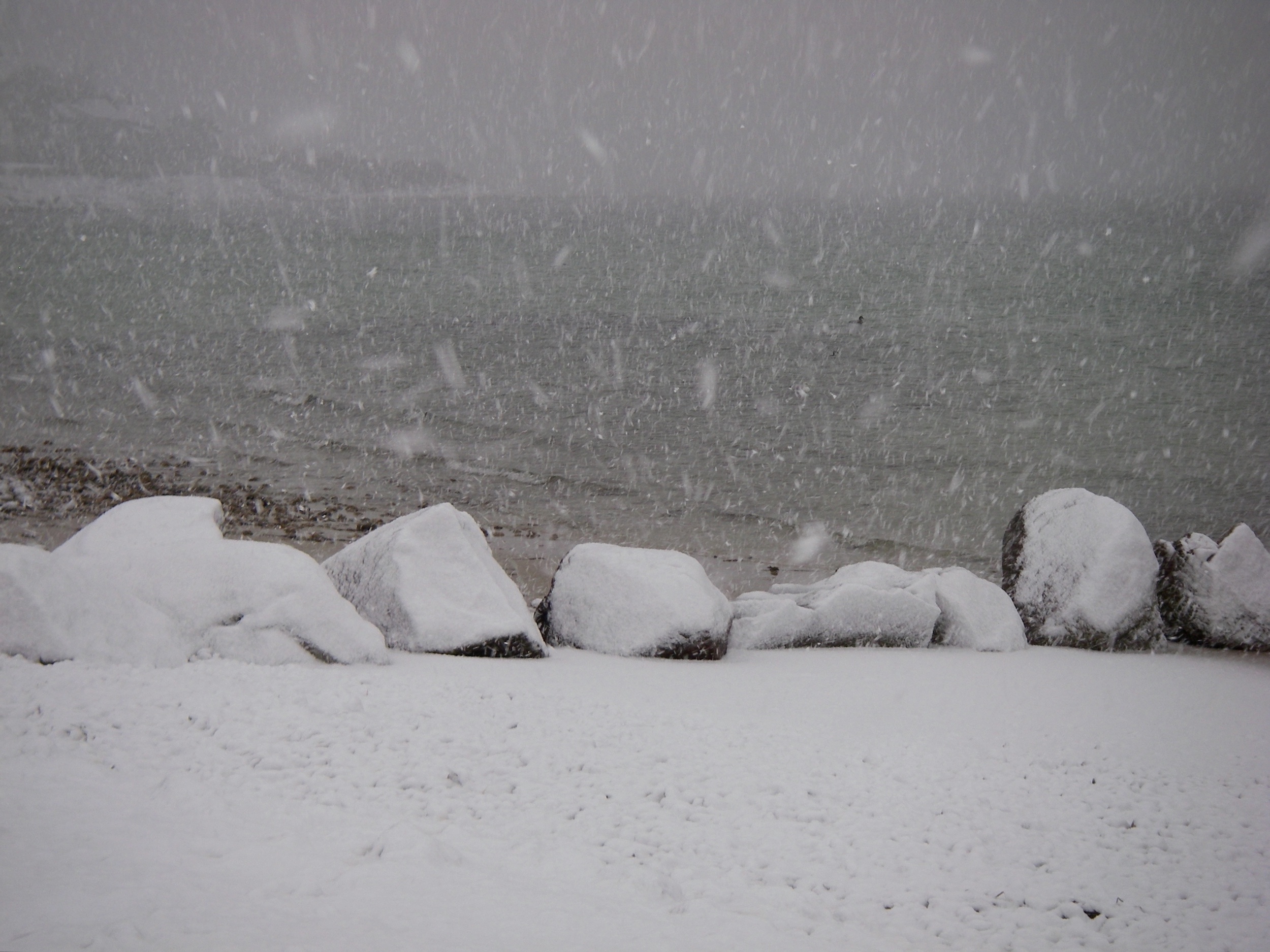
WEST FALMOUTH, MA — A powerful winter storm has pounded the east coast the past two days, bringing heavy snow from Maine to Jacksonville, and bringing travel to a standstill. Here on Cape Cod, heavy snow and wind started up early Sunday afternoon, with near blizzard conditions by 3:30 PM. […]
Read MoreBeautiful Shelf Cloud Opens Winter Chasing
TIERRA VERDE, FL — Usually when you hear of a lightning-less cold front, you just shrug it off as a rain event. The Winter Season Opener was definitely an exception to that rule! This front had an unusual signature on radar that tipped me off that it could be photogenic. […]
Read More2010 Year in Review: Success in ’09 Fuels Strong 2010 Expansion
2010 was a quite a weather anomaly in Florida. Here in the Tampa Bay area, the year started with the 2nd coldest winter on record, and we actually had snow stick along the I-4 corridor. Waking up to see single digit temperatures in North Florida, and then seeing an afternoon […]
Read MoreSummer Chasing Comes to a Quiet Close
Focus Shifts South to the Caribbean for the Fall Atlantic Hurricane Season. ST. PETERSBURG, FL — A summer season that started with a big bang in late May came to a rather wimpish close, thanks to a cold front that has brought a spectacular, yet very stable air mass into […]
Read MoreTropical Storm Matthew Forms in the Caribbean
MIAMI, FL — Tropical Storm Matthew has formed in the southwest Caribbean. According to the National Hurricane Center, at 8 PM, sustained winds were about 40 mph with higher gusts. The storm is forecast to strengthen before it goes over mainland Belize. Forecasters are unsure exactly where it’s going to […]
Read More