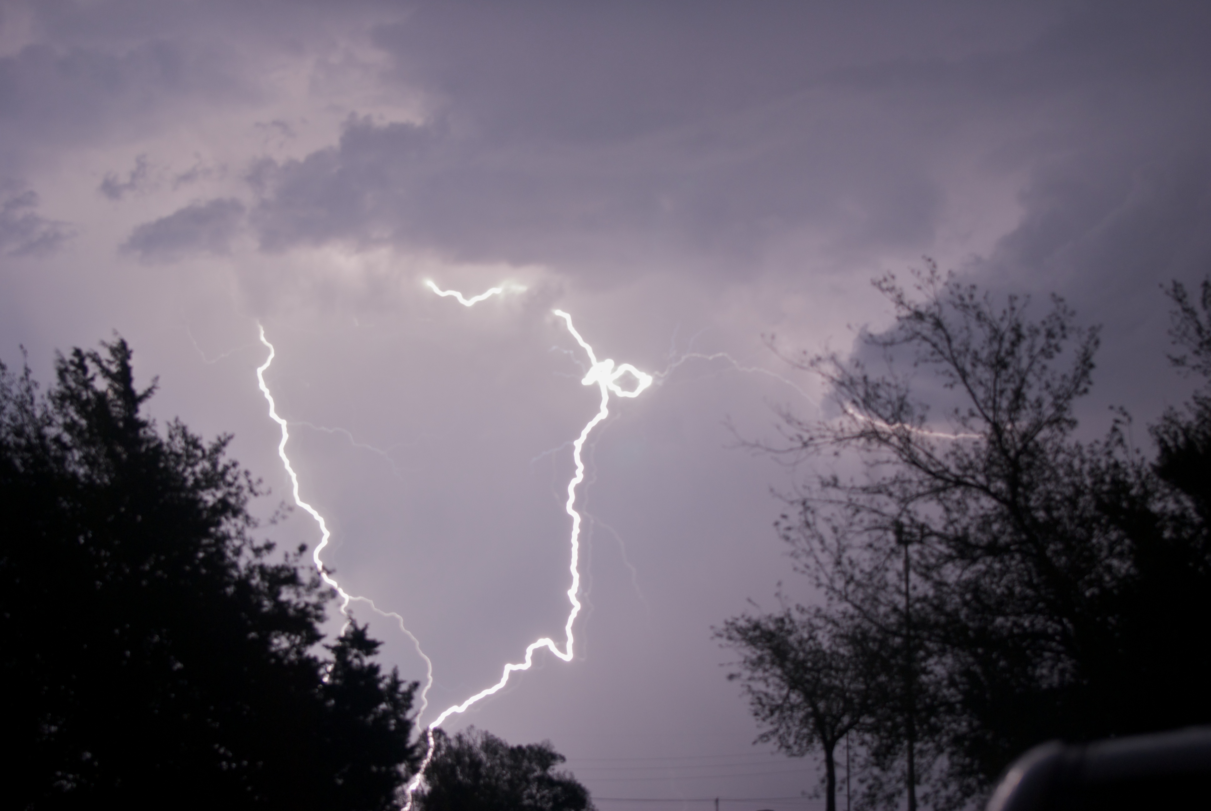
Have you ever been watching a thunderstorm and witnessed someone counting the seconds between the lightning and the thunder (or even counted yourself)? You probably know that you can determine how far away the lightning strike was from the length of time between the lightning flash and the thunder clap. […]
Read MorePost Tagged with: "Meteorology"
We Have Our First Atlantic Hurricane of 2013
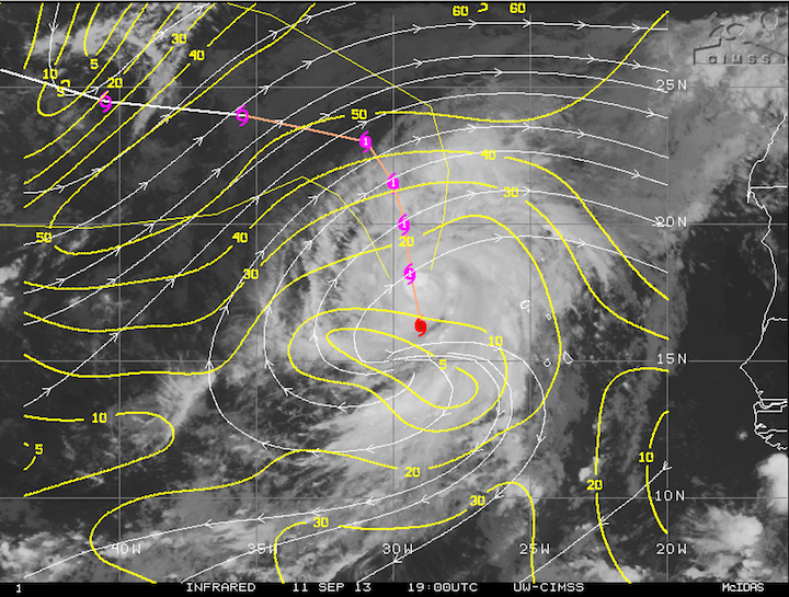
We officially have our first hurricane of the 2013 Atlantic season. Earlier this morning, Humberto was upgraded to a hurricane, coming within a few hours of the Atlantic record for latest first hurricane. Humberto currently sits over the far eastern Atlantic, right off the west coast of Africa, and is […]
Read MoreWhy the May 31st El Reno Tornado was Downgraded to EF-3
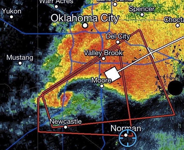
The deadly tornado that ripped through Canadian County, OK on May 31st has been downgraded back to EF-3 on the Enhanced Fujita Scale. Back in early June, the National Weather Service initially rated the tornado EF-3 after surveying the damage, but after receiving data from several doppler radars in the […]
Read MoreQuiet Weather Pattern to Settle In for the Remainder of August
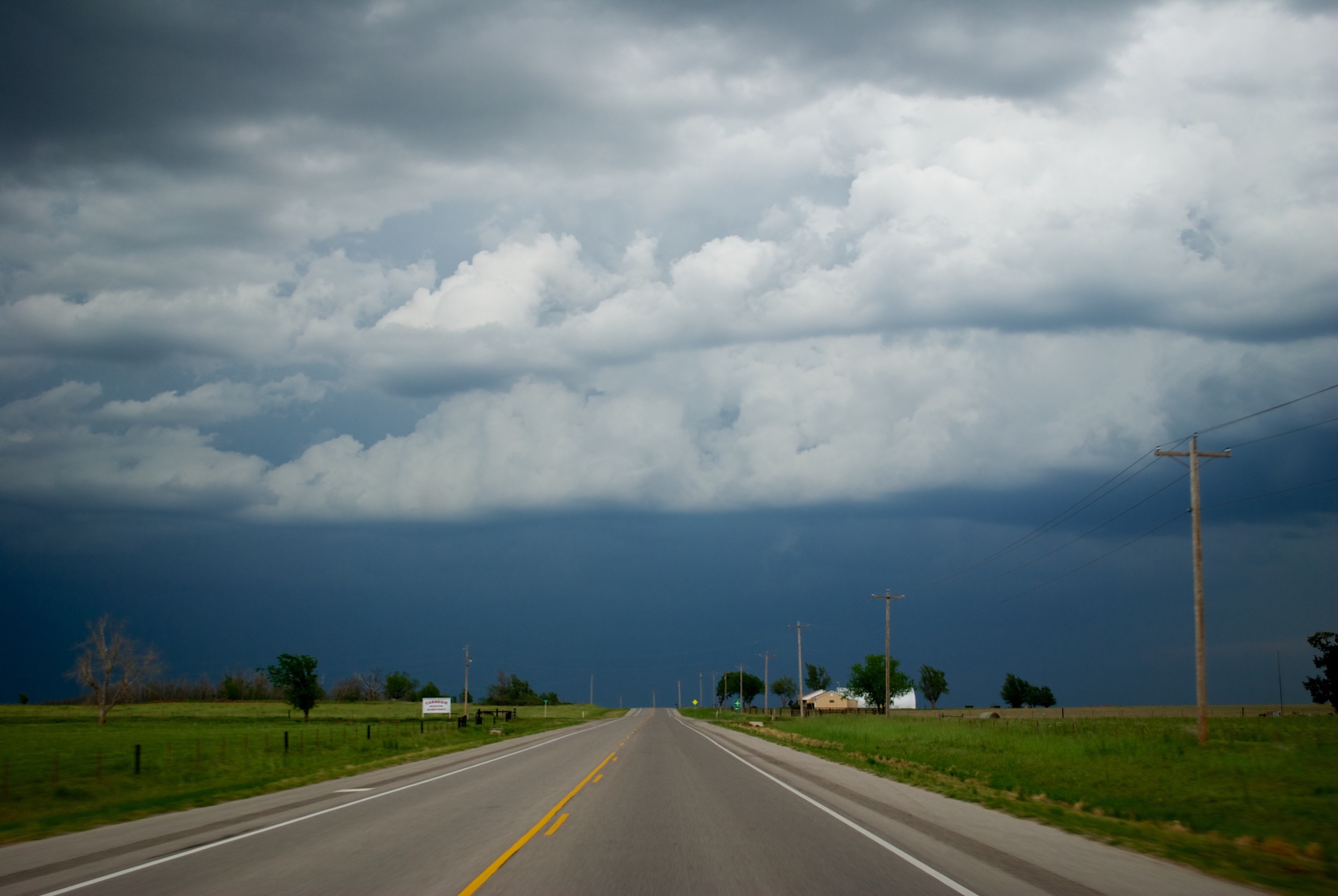
Large Scale Setup/Discussion A large ridge of high pressure, or heat dome, has begun to set up over the central US this week, and will be strengthening as we head into this weekend and early next week. As a result, the main branch of the jet stream has been pushed […]
Read MoreBasic Physics and Dynamics of a Tornado
Ever wonder what goes on inside a tornado? If you cut it all down to just basics, it’s pretty simple. A tornado is just a column of air violently rotating around an area of low pressure (how they form will be discussed at some future date). They work in the […]
Read MoreEXAMPLE FORECAST: New England Winter Storm: February 8-10, 2013
Large Scale Setup/Discussion A weak wave of energy is currently crossing Colorado’s Rocky Mountains and is forecast to undergo “lee cyclogenesis” (it’s actually more of a lee intensification) as it ejects off the Front Range and into the Great Plains on Thursday, ahead of a much more powerful upper level […]
Read MoreLooking Back at the May 19-20 Tornado Outbreak
MOORE, OK — May 3rd, 1999. It’s a date that anyone with ties to Oklahoma knows very well. If you don’t know, an F5 tornado struck Moore, Oklahoma that day, packing winds of 318 miles per hour (no, that’s not a type-o), which to this day remains the strongest wind […]
Read MoreThe Hunters Become the Hunted
GRANITE, OK — I chased three separate clusters of storms across western Oklahoma. I first captured an isolated supercell north of Clinton, but did have to battle some hills and a less-than-ideal road network. When that storm began to weaken, I dropped south and captured some gorgeous pictures of a […]
Read MoreMini Tornado Outbreak in Southwestern Oklahoma
FREDERICK, OK — The April 17th severe weather event was easily the highlight of April. I got to chase as part of one of my classes, which was a lot of fun. A warm front had stalled over the Interstate 44 corridor, with extremely unstable air on the warm side […]
Read MoreA Weather Event of the Most Absurd Kind
NORMAN, OK — A day that started as an epic bust/lack of a storm chase turned out to be anything but disappointing. It was an event that nobody could have predicted (not even the models), featuring golf ball sized hail and freezing rain falling out of a severe thunderstorm at […]
Read More2012 Year in Review: Another Memorable Year
NORMAN, OK — After a very strong year in 2011, I had high hopes coming into the 2012 season. It seemed like forever, but late winter finally turned into early spring. I ended up missing out on the first chase opportunity of the season, which came on March 18 in […]
Read MoreEpic Spring Grand Finale
AMBER, OK — Another round of severe weather brought quite the grand finale to May here in Central Oklahoma. With a Moderate Risk up, all of Oklahoma west of Interstate 35 was fair game for a target area. Just after 3 PM, storms began to explode on the dryline in […]
Read More