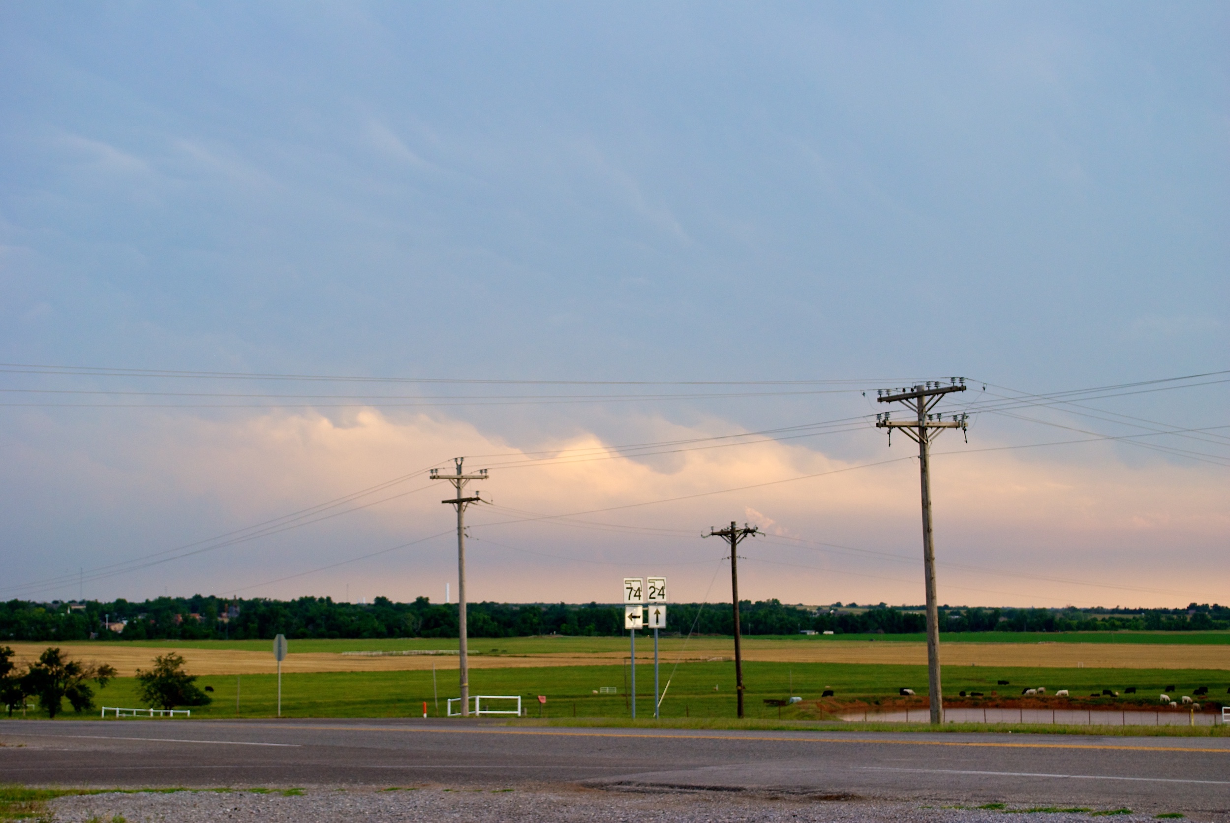
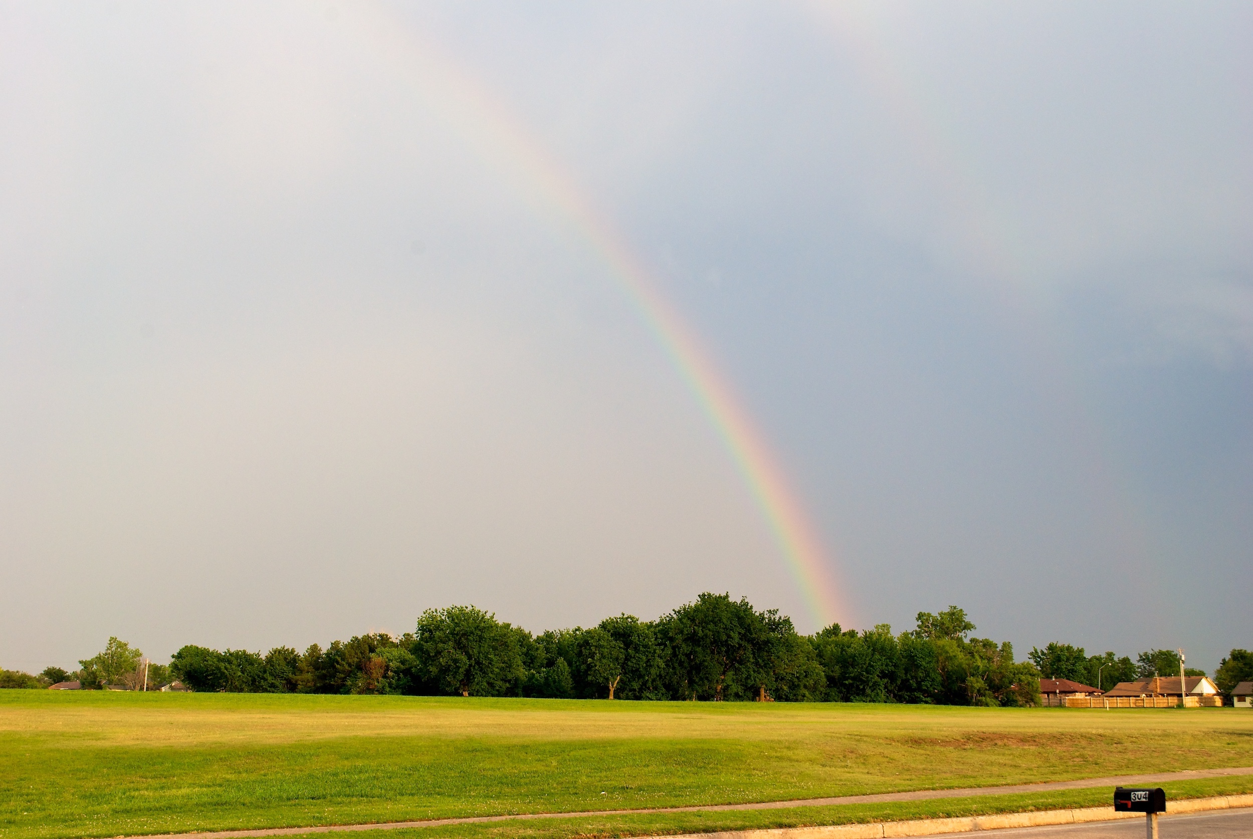
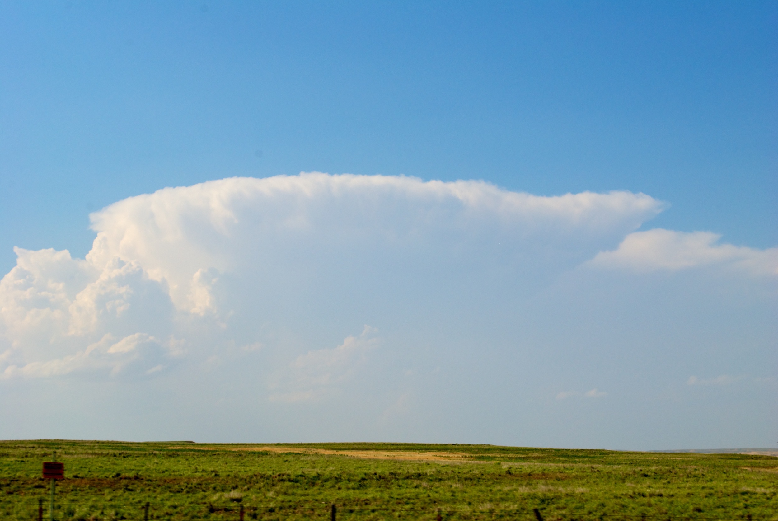
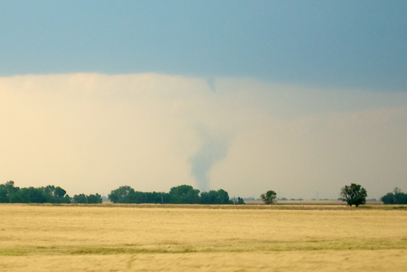
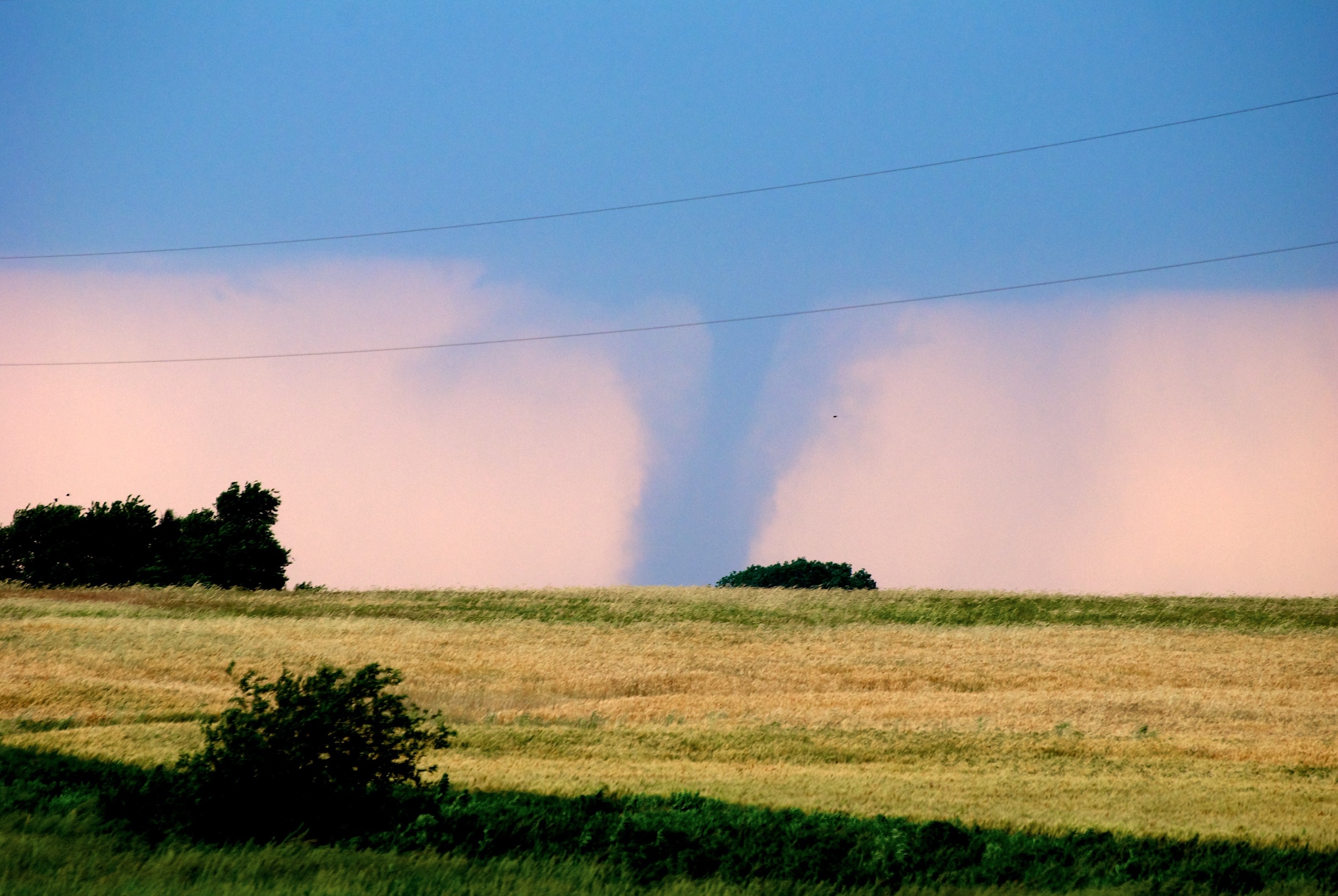
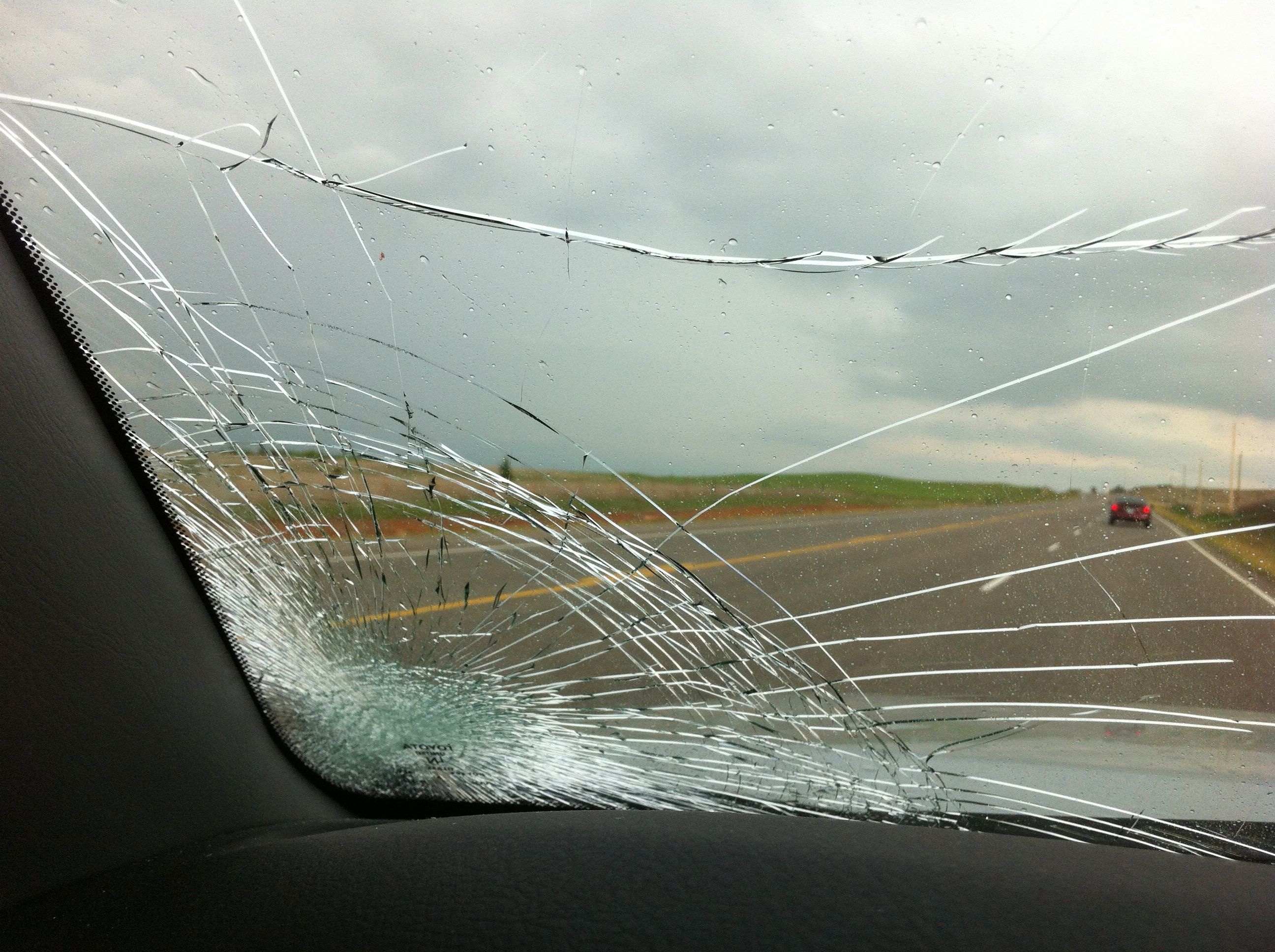
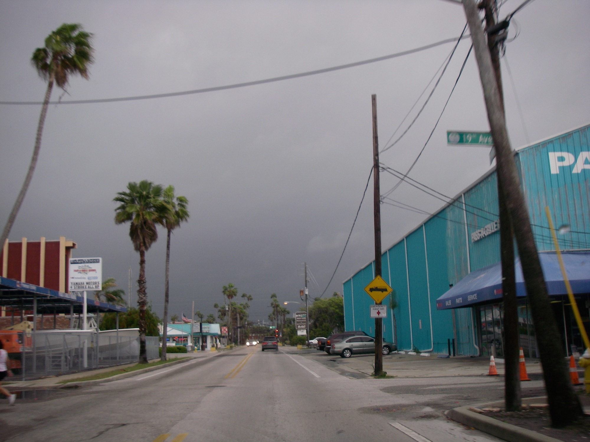
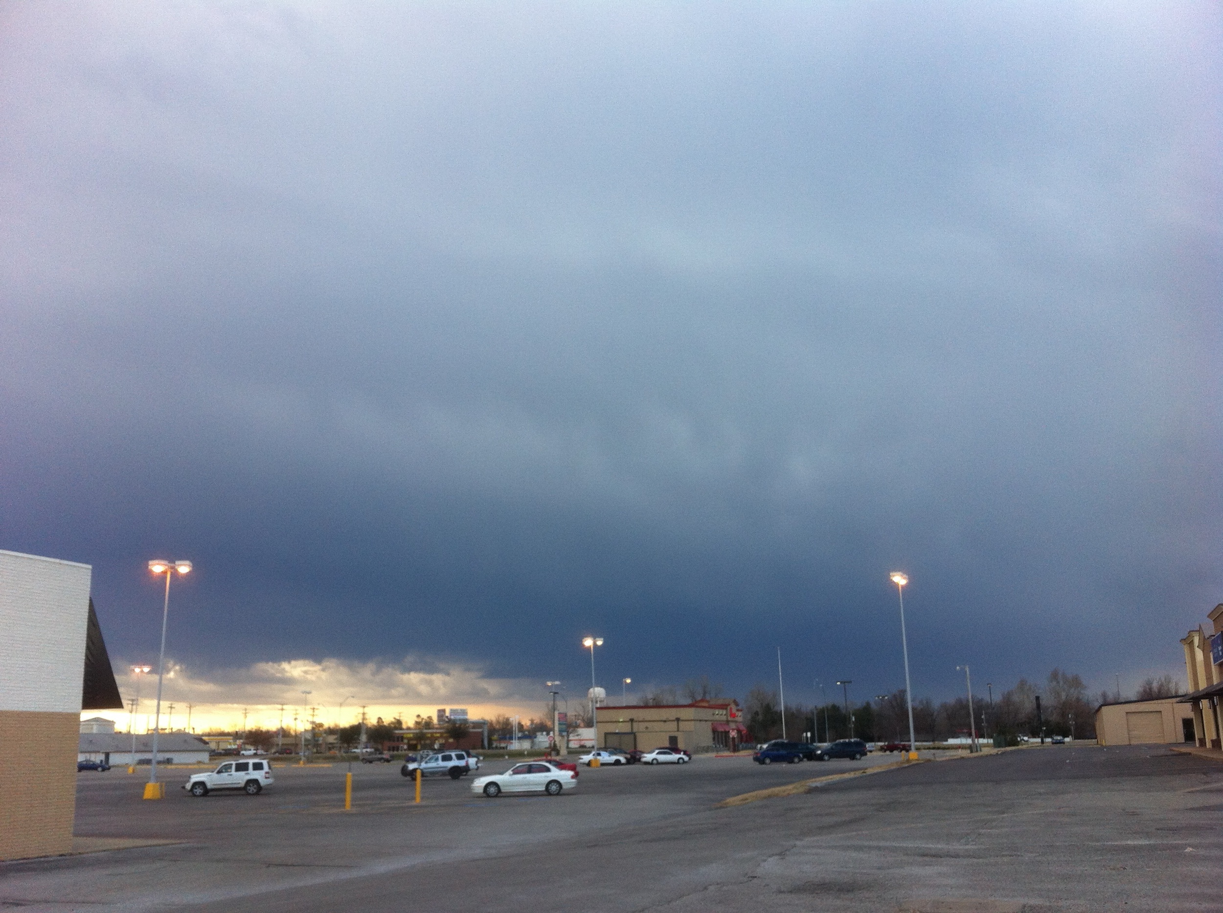
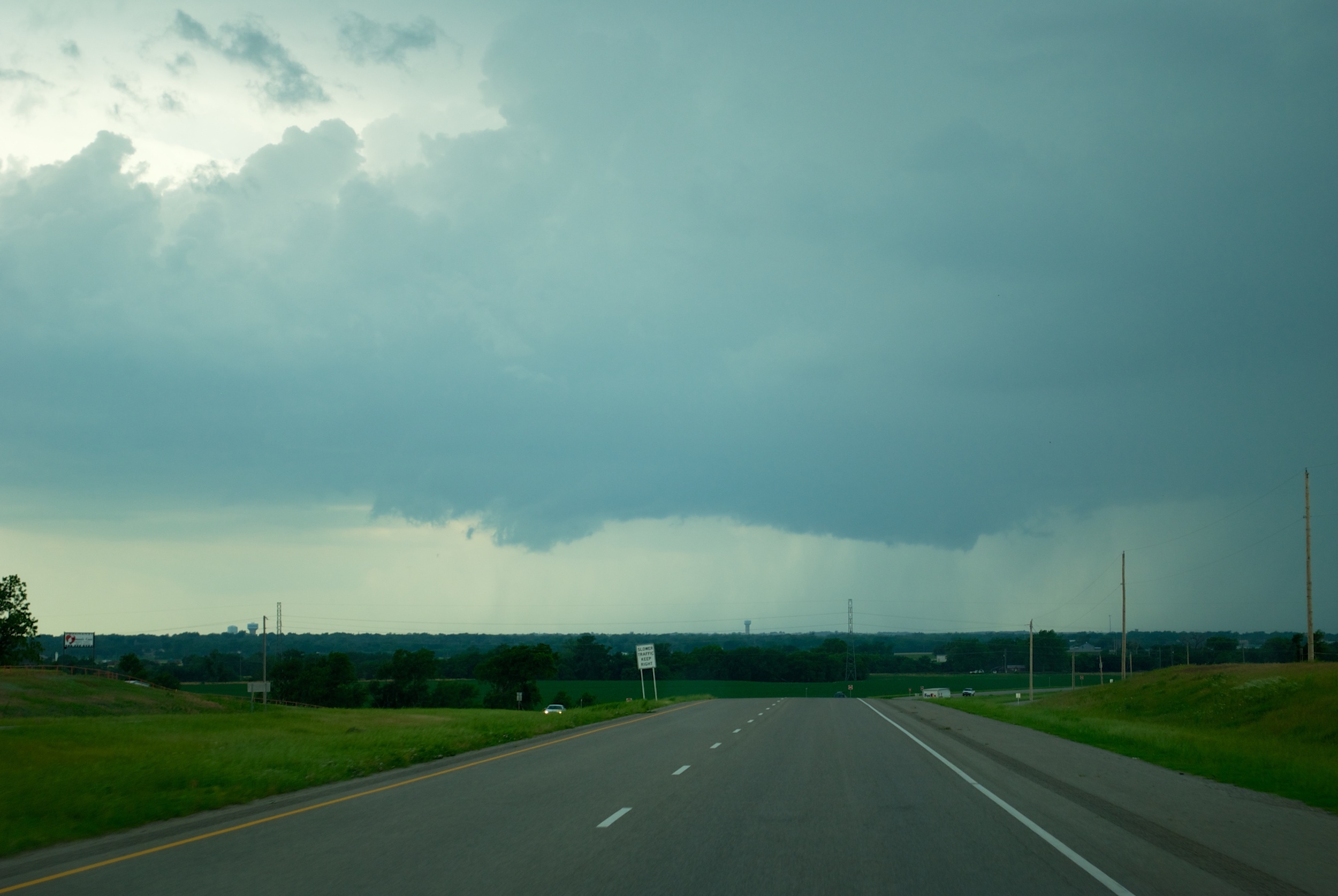
BLANCHARD, OK — Destructive hailstorms pounded the Oklahoma City metro on May 29th, bringing enormous hail, 80 mph winds, and a few tornadoes to the area. Storms formed in the late afternoon near Lawton, OK and started moving to the northeast. One was particularly persistent and long-lived and was tracking […]
Read MorePost Tagged with: "Meteorology"
Gentleman’s Chase Offers Instant Redemption
NORMAN, OK — There is no more satisfying redemption from a 500-plus mile bust than a gentleman’s chase…when the storms come to you. In the evening hours, two lone severe thunderstorms formed to the southwest of the Oklahoma City metro and started tracking northeast towards Norman and points south. I […]
Read MoreEpic Clear Sky Bust in Southwest Kansas
ASHLAND, KS — A week after getting what will likely be my photo of the year as beautiful tornadoes touched down near Harper, KS, I was back in the Sunflower State and got to experience the complete opposite end of the spectrum in one of the most spectacular busts I’ve […]
Read MoreWhat Is the Difference Between a Tornado and a Landspout
On May 19, 2012, I observed and photographed a landspout and two tornadoes near Harper, Kansas. The term “landspout” is not used very often so I will attempt to explain what it means and how it differs from a tornado. Tornadoes Most tornadoes are driven by a mesocyclone in a […]
Read MoreGorgeous Tornadoes Touch Down in Kansas
HARPER, KS — After a three-week hiatus from chasing due to exams and lack of storms, I resumed chasing with a huge score in south-central Kansas. My initial target was storms along the dryline near the Kansas-Oklahoma border, adjusting north or south as needed. The morning model runs did show […]
Read MoreImpressive Recovery From a Near Bust
RINGWOOD, OK — A day that seemed destined for an epic bust in Western Oklahoma left me about 20 miles short of hitting the jackpot as the sun set on a line of tornadic supercells near the Kansas border. The day started like any other typical chase day…pouring over SPC […]
Read MoreCentral Plains Tornado Outbreak
NORMAN, OK — Two straight days of taking a gamble and targeting areas close to home left me with the two extremes as far as results go: one day put me up close and personal with a fairly serious tornado less than a mile from my house, and the other […]
Read MoreTornadoes, Huge Hail, and Lightning, Oh My!
WOODWARD, OK — What will go down as one of the most memorable chases of the year netted me my first tornado of the new season and pounded me with hail well over 4 inches (softball size). My target for a few days had been the area surrounding Woodward. The […]
Read MoreGorgeous Sunset Chase Kicks Off 2012
CUSTER CITY, OK — A chase that began targeting the dryline in western Oklahoma concluded with one of the most spectacular storms I’ve ever seen. A rather complex setup was working its way into the southern plains, as I spent the better part of 2 days pouring over models trying […]
Read MoreA Simple Meteorological Synopsis of the 3/31/2011 West Florida Tornado Outbreak
On March 31, 2011, nine tornadoes broke out across West Florida as a strong front moved across the region, leaving heavy damage in its wake. While the Tampa Bay area does see the most tornadoes per square mile than anywhere else in the country, the tornadoes it does see are […]
Read MoreFirst Storms of the New Year
NORMAN, OK — The first storm system of 2012 came rumbling through Oklahoma this week, but did not produce any severe weather in Central Oklahoma. Since the setup did not look particularly great this morning, I opted to storm spot from Norman instead of actively chasing. The decision to go […]
Read MoreThe Basic Anatomy and Lifecycle of a Thunderstorm
All thunderstorms, from the smallest rumblers to the biggest supercells, go through the same 3-stage lifecycle. Like anything that is actually living, thunderstorms do require a healthy balance and a constant fuel source to maintain them. Stage 1: Cumulus Stage If you’ve ever been outside on a nice day, you’ve […]
Read More