In China, Beijing just accomplished the rare feat of becoming the first city to host both the Summer and Winter Olympics. China has a long, rich history and culture that far too many people misunderstand. With China hosting the Winter Olympics this year, it seemed only fitting to look at the more weird and bizarre side of its geography. Let’s get going.
1. China Borders 14 Countries, and Has Territorial Disputes with All of Them
Amazingly, the territorial disputes don’t end there. China has numerous additional territorial disputes with countries it doesn’t even border. Most of these disputes are maritime, and include countries such as Indonesia, South Korea, and Singapore.
Back on the mainland, China shares a border with 14 other countries. The only other country in the world that borders that many countries is Russia, which also borders 14 other countries. In alphabetical order, those 14 countries that border China are:
- Afghanistan
- Bhutan
- India
- Kazakhstan
- Kyrgyzstan
- Laos
- Mongolia
- Myanmar
- Nepal
- North Korea
- Pakistan
- Russia
- Tajikistan
- Vietnam
2. China’s Longest Border is with Mongolia, not Russia
Because Mongolia sits wedged between China and Russia, it comprises China’s longest land border. At 4,630 km (2,877 mi), the China-Mongolia border is the fourth longest land border in the world. Only the Argentina-Chile, Russia-Kazakhstan, and US-Canada borders are longer. On the other hand, China’s shortest border is its disputed border with Pakistan. That border is only 320 km (200 mi) long.
| Border | Length (km) | Length (mi) |
|---|---|---|
| Canada – United States | 8,893 km | 5,526 mi |
| Russia – Kazakhstan | 7,644 km | 4,750 mi |
| Chile – Argentina | 6,691 km | 4,158 mi |
| China – Mongolia | 4,630 km | 2,877 mi |
3. Both the Highest Point, Highest Plateau, and Highest Border Crossing in the World are Located in China
The Himalayas form China’s southwest frontier with Nepal, India, Pakistan, and Bhutan. Home to all fourteen 8,000 meter peaks, the Himalayas are the tallest mountain range in the world. At 8,893 meters (29,032 feet) above sea level, the summit of Mount Everest is the highest point in the world. And that summit forms part of the border between Nepal and China.
The Top of the World
Unlike Nepal’s multi-day trek, you can actually drive directly to Everest base camp on the Tibet side on a well-maintained paved road. However, it’s a much easier climb to the summit on the Nepal side, which is why most climbers start their journey up Everest in Kathmandu, and not in Lhasa.
The Roof of the World
North of Everest, you’ll find the Tibetan Plateau covers much of southwest China, and even stretches into several neighboring countries. Stretching roughly 2.5 million square kilometers (970,000 square miles), the Tibetan Plateau is both the largest and highest plateau in the world.
At an average elevation of 4,000 meters (13,123 feet), it has earned its nickname “The Roof of the World”. Sitting in the shadow of Everest, the Tibetan capital, Lhasa, is the highest capital city in the world. Lhasa checks in at a whopping 3,658 meters (12,000 feet) above sea level. For comparison, that’s roughly the same elevation of the Continental Divide at Loveland Pass (US-6) in Colorado, and about 300 meters (1,000 feet) higher than the highest point on Interstate 70.
While much of the plateau is arid desert and tundra, you will find several lakes dotted amongst the rugged landscape. Interestingly, these lakes are far from the highest lakes in the world. You’ll find most of the world’s highest lakes in the Andes mountains in South America.
The Highest Border Crossing in the World
Completed in 1982, the highway across Khunjerab Pass marks the highest paved border crossing in the world. Connecting Hunza, Pakistan and Xinjiang, China, Khunjerab Pass sits at 4,693 meters (15,397 feet) above sea level. Interestingly, the pass is long and relatively flat, making it both one of the most scenic drives in the world and a popular choice for trucks to cross between Pakistan and China. However, heavy snow can close the pass any time of year, making it a potentially treacherous journey for even the most seasoned adventurers.
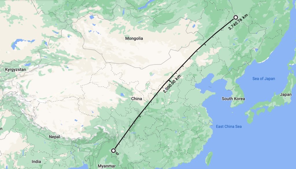
4. China Has Only One Time Zone
One of the most fascinating oddities about China is the fact that despite it being roughly the same size as the United States, it only has one time zone. Not surprisingly, that one time zone is optimized for China’s capital, Beijing. If the United States did this, cities such as Los Angeles, San Francisco, and Seattle would be observing Eastern Time instead of Pacific Time.
As a result, in the City of Urumqi in far western China, sunrises and sunsets are at unusual times. Near the summer solstice, the sun rises at 8:30 AM and sets at 11:45 PM. Likewise, in the winter, daylight runs As a result, Urumqi unofficially sets their clocks 2 hours behind Beijing, but the time zone can still be confusing to visitors.
If that’s enough, China having one time zone causes some unusual time changes when you cross its western borders. For example, if you cross from China into Afghanistan at Wakhjir Pass, the Afghani side will be three and half hours behind the Chinese side. That is actually the largest official time difference between two sides of any land border in the world.
However, that’s far from the most drastic time change across international borders. You may recall that the Diomede Islands sit just 4 km (2.5 mi) apart, but have a 21-hour time difference thanks to the maritime border between the United States and Russia running between them.
5. 28% of China is Desert…and that Figure is Growing
The Gobi Desert, which covers southern Mongolia and northern China, is responsible for the vast majority of China’s desert. The Gobi is best known for its sand dunes, rare wildlife, and cold temperatures. However, the Gobi Desert’s dunes are migrating south at roughly 2 miles (4.5 km) per year. Like the Indiana Dunes, they swallow everything in their path, including towns. And they’re training their crosshairs on a much bigger target. The nearest dunes are now only about 44 miles (71 km) from Beijing.
To combat the rapid desertification, China is attempting to build a 2,800 mile long “Great Green Wall” of trees to halt the Gobi Desert’s southward creep. While the Great Green Wall has slowed the dunes progress in some areas since the first trees were planted in 1978, the Gobi continues to march south unimpeded across much of the landscape.
Additionally, much of the Tibetan Plateau is classified as a desert. A rain shadow from the Himalayas is the reason that both the Tibetan Plateau desert and the Gobi Desert exist. Interestingly, China’s deserts are among the largest cold weather deserts in the world outside of the polar regions. Winter temperatures in the Gobi routinely drop to -40°C (-40°F). But don’t let the cold weather part fool you. Average high temperatures in the Gobi summer can reach 45°C (113°F).
6. The Great Wall of China Does not Actually Mark any of China’s Current Borders
Originally built to protect ancient Chinese states and Imperial China from nomadic tribes in present-day Mongolia, the Great Wall of China is the largest man-made structure on earth. It stretches endlessly for 21,196 km (13,171 mi) across much of northern China. If you stretched that out in a straight line, it would go half way around the world. Construction of the wall took nearly 3,000 years.
The Great Wall of China did once mark China’s northern border. The Ming Dynasty built over 8,000 km (5,000 mi) on its northern border, which at the time ran just north of Beijing, between 1368 and 1644. Once the Ming Dynasty fell, the Qing Dynasty rose to power. By 1912, they had expanded China’s territory to include all of what’s present-day China and Mongolia. Today, the Great Wall marks an incredible piece of history and engineering, but has no significance to China’s current borders.
7. Despite Having the World’s Largest Population, Over 60% of China is Uninhabited
Much of that 60% is uninhabitable due to extreme climate. For example, the Tibetan Plateau is an empty, arid, and rugged landscape. Its high altitude and extreme temperatures make it incredibly difficult for all but the heartiest of creatures to survive. Most of the rest of western China is cold desert. Because China’s economy is so heavily reliant on agricultural exports, cold temperatures and the lack of precipitation renders much of the west useless for farming and agriculture. You simply cannot generate sufficient economic output from the western lands.
The Heihe-Tengchong Line marks several stark divides between eastern and western China. Most notably, 94% of China’s 1.4 billion people – the largest population in the world – lives in the 40% of China east of the Heihe-Tengchong Line.
The Heihe-Tengchong Line also starkly divides other demographics, climatology, and geographies.
| Parameter | West of Line | East of Line |
|---|---|---|
| Soil | Arid and Sandy | Fertile |
| Precipitation | Dry | Wet |
| Elevation | High | Low |
| Temperature | Cold | Temperate |
| Terrain | Rugged Mountains | Hills, Valleys, and Plains |
| Climate | Plateau and Mountain | Tropical and Temperate Monsoon |
| Primary Language | Non-Sinitic | Sinitic (Traditional Chinese) |
| Population | 6% | 94% |
8. General Tso was a Real Person
Zuo Zongtang was a highly respected Chinese statesman from Hunan province. He was also one of the top military men of the Qing Dynasty, which ruled China from 1644 to 1912. His greatest accomplishment was helping the Qing Dyansty beat back the Taiping Rebellion, a bloody civil war that raged across China in the mid-1800’s. He is said to be to China what General Sherman was to the United States.
But unlike General Sherman, Zuo Zongtang is not known for his military accomplishments. In fact, most people couldn’t tell you when he was alive, or even which wars he fought in. That’s because in the modern era, Zuo Zongtang is most associated with something he had no connection to when he was alive. Zuo Zongtang is much better known as General Tso.
When General Tso died in 1885, it would still be 70 years before the tasty chicken dish that’s associated with his name came into being. In the 1950’s Chef Peng Chang-kuei served the first General Tso’s Chicken dish to Chinese Nationals who had fled to Taiwan after China fell to Mao Zedong. Chef Peng was born and raised in the same town as Zuo Zongtang, and decided to name the chicken dish after him. Peng eventually immigrated to New York City in 1973. He brought the General Tso’s Chicken recipe with him. Once the dish hit the United States, it took off, and the rest is history. Today, there are more Chinese restaurants in the United States than all of the McDonald’s, KFCs, Pizza Huts, Taco Bells and Wendy’s combined.
9. China’s Train System is so Extensive its Railways Could Wrap Around the Earth…Nearly Four Times
There are over 150,000 kilometers (91,000 miles) of operational railways in China. Today, over 40,000 km (25,000 mi) of those railways are for high-speed trains. Unlike the United States, most of China’s freight moves by train, which is why China’s rail network is so extensive. A long term plan expands the rail network to 274,000 km (170,000 mi) by 2050.
So let’s dive into the math. The earth’s circumference is 40,000 kilometers, or 25,000 miles.
150,000 km / 40,000 km = 3.75 times around the Earth10. China has Two “Flipper Bridges”, Where You Switch From Driving on the Right to Driving on the Left
Have you ever crossed an international border where traffic switches from driving on the right to driving on the left, or vice versa? Sure, it’s easy to handle at some of the hole-in-the-wall border crossings in rural Africa where so few cars pass through.
In instances where there are more cars, you can use a traffic light to cross the traffic over to the other side of the road. That’s exactly what they do at the Thai-Lao Friendship bridge. Inbound traffic into Vientaine, the Lao Capital, must cross from driving on the left in Thailand to driving on the right in Laos. A traffic light controls the crossover right before you reach the Lao port of entry. In the map below, the crossover is right above the “ST Vegas” icon in the center of the map.
But what if you’re trying to link two major cities in a heavy traffic area? China has exactly this problem, not once, but twice. While mainland China drives on the right side of the road, both Hong Kong and Macau drive on the left. The bridges from China to both Hong Kong and Macau are called “flipper bridges” because they flip which side of the road the traffic drives on. The older bridges use a series of loop-de-loops to switch sides, while the newer bridges simply bring one side of the road underneath the other.
A New Multi-Flipper Bridge
In October, 2018, the new Hong Kong-Zhuhai-Macau Bridge opened. Spanning 55 km (34 mi) over the ocean, it’s the longest oversea bridge in the world. Furthermore, the bridge doesn’t just link two points. It links three: Mainland China, Macau, and Hong Kong. If you were designing this bridge, how would you handle the traffic and which side of the road it drives on?
To stay in line with mainland China, traffic on the Hong Kong-Zhuhai-Macau bridge drives on the right. Just before traffic enters Macau and Hong Kong, the inbound traffic is brought underneath the outbound traffic. That way, traffic is driving on the left as it enters Macau and Hong Kong.
Conclusion
China is one of the most fascinating, yet misunderstood countries out there. From switching what side of the road you drive on to only having one time zone to the roof of the world, there’s a geographic oddity for everyone. While China rightfully gets a lot of criticism for its censorship and repression today, I think we could all use a lesson in its lengthy, rich, and captivating history. It tells an incredible story of how China got to where it is today. Have you ever traveled to China and experienced one of these oddities? Let us know in the comments below.
Top Photo: Snow-Capped Sierra Nevada
South Lake Tahoe, California – February, 2020