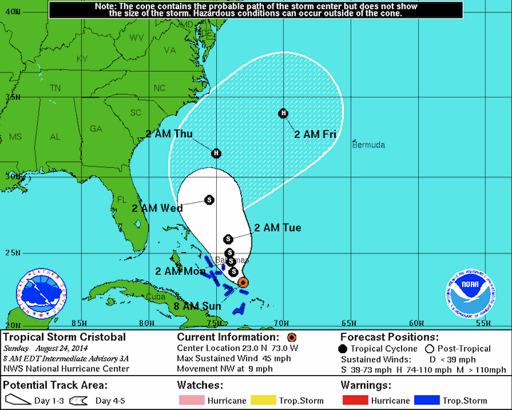
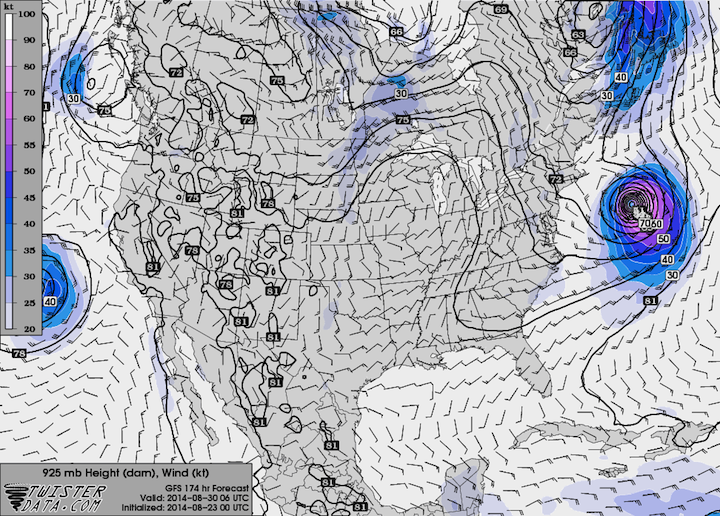
Tropical Storm Cristobal has finally formed just north of Puerto Rico. As of this morning’s 8 AM EDT advisory, the storm was centered just north of the Turks and Caicos Islands with maximum sustained winds of 45 mph. The Hurricane Center has the storm slowly strengthening while encounters some shear […]
Read MoreMatthew Gove Web Development
Use web-based maps and data to raise awareness and build an inclusive community around your mission and values both at home and abroad.
Possible Tropical Storm Brewing Near Puerto Rico
Well, the Hurricane Center has been hinting at tropical cyclone development near Puerto Rico for several days now. With it, the probability of tropical cyclone formation has gone up steadily as well (it is 80% chance of development in the next 48 hours as of this morning). Most signs appear […]
Read MoreA Quick Look at Tropical Storm Arthur
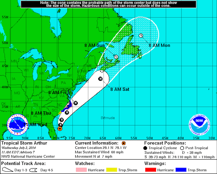
Well, we have our first named storm of the 2014 Hurricane Season. As of this morning’s 11 AM EDT advisory from the National Hurricane Center, Arthur was centered just east of Daytona Beach, FL with maximum sustained winds of 60 mph. The storm is forecast to move up the east […]
Read MoreThree Factors Explaining Oklahoma’s Quiet Storm Season
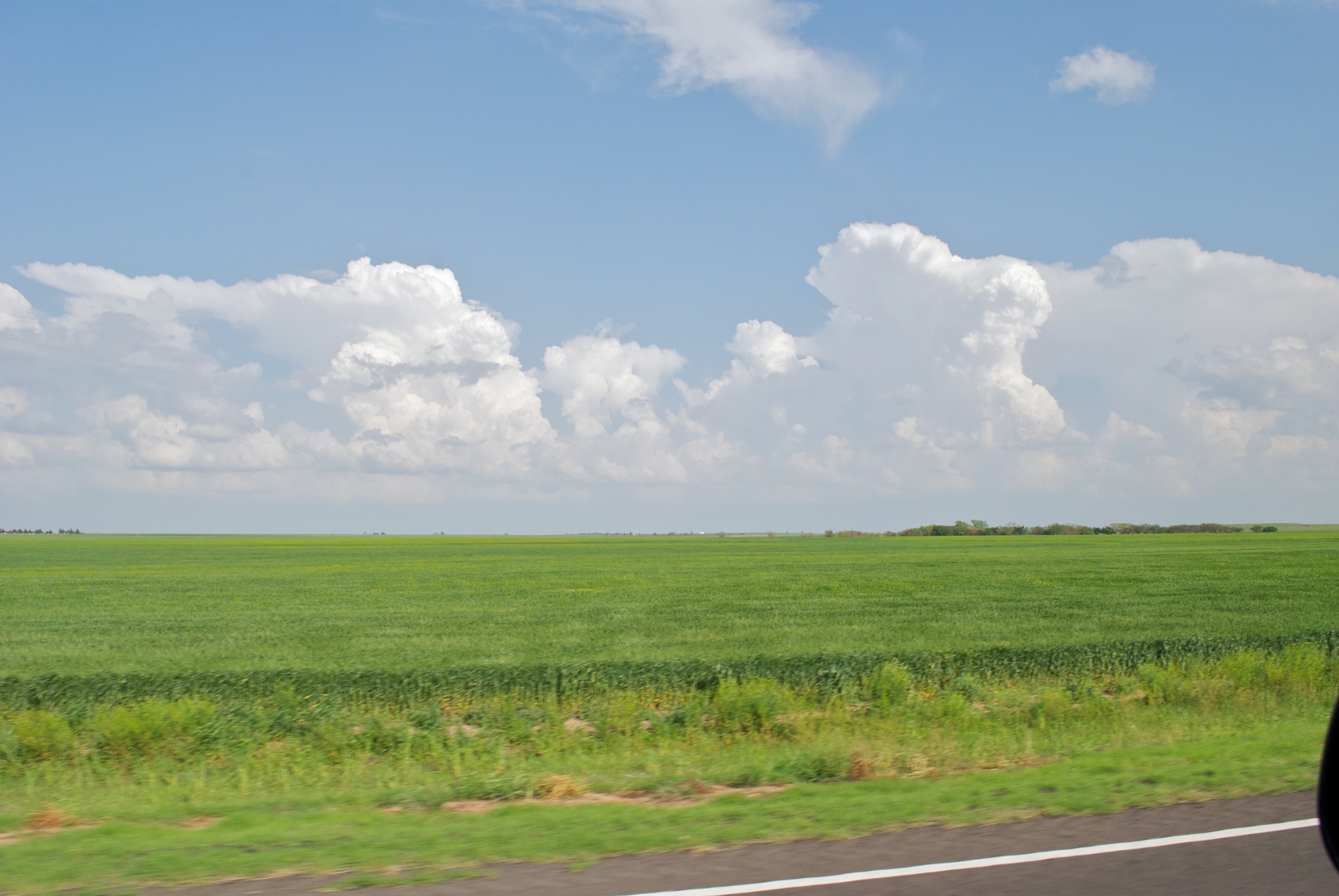
It’s no secret by now that the severe weather season in Oklahoma this year has been nearly non-existent. The tornado count for the entire state so far this year can pretty much be counted on one hand. So what has caused the storm season to be so quiet? There are […]
Read MoreA Dual Pol Radar Tutorial: The Vilonia, Arkansas Tornado
Dual polarization radar is an incredibly powerful tool for tracking severe weather. One important use for dual-pol radar is to track strong tornadoes by detecting the debris field with the radar. Similar to the Moore tornado last year, the April 27, 2014 Vilonia, Arkansas tornado passed about 10 miles north […]
Read MoreOkla. Thundersleet Part 2: How The Thunderstorms Formed
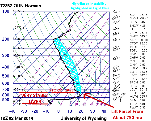
It takes a unique weather setup to generate thundersleet and thundersnow. It takes an even more unique weather setup to generate thunderstorms with surface temperatures of only 12°F. In order to understand these setups, we need to make sense of the concept of an elevated or high base thunderstorm. These […]
Read MoreBeautiful and Impressive Storm Coming Ashore in California
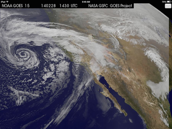
Cloudy with a change of cinnabons? No, Jim Gaffigan is not coming to your neighborhood. Nor will tasty baked goods be falling from the sky (how awesome would that be though). Instead, one of the most impressively beautiful and textbook upper-level mid-latitude storm systems in recent years is currently coming […]
Read MoreWinter Weather Outlook for Sunday Through Tuesday
I am watching two possible areas for winter weather over the next three to four days. The first is a coastal storm that may bring some gusy winds and light snow to the northeast Sunday, and the other is an upper-level storm system that could bring more snow and ice […]
Read MoreA Look at the East Coast Weather for the Next Week
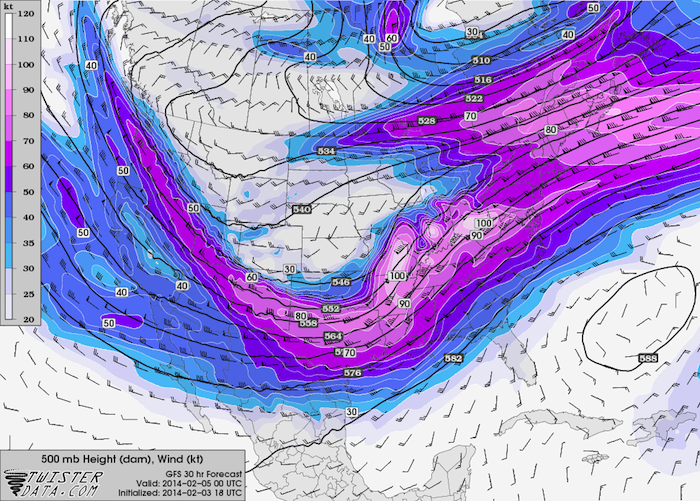
A pattern shift in the jet stream has let Feburary start with quite a bang after a pretty quiet January. A series of winter storms that has come through and will be coming through Oklahoma this week will be impacting parts of the east coast as well. Tuesday, February 4th: […]
Read MoreRare Winter Storm to Impact the Gulf Coast and Deep South
A powerful Arctic cold front will collide with rich Gulf of Mexico moisture to bring a plethora of wintry mess to the Gulf Coast before continuing on to the Georgia and Carolina coasts. Behind the frontal passage this evening, temperatures will quickly plunge into the 20s and 30s along the […]
Read MoreAnother Tricky Winter Forecast for Oklahoma
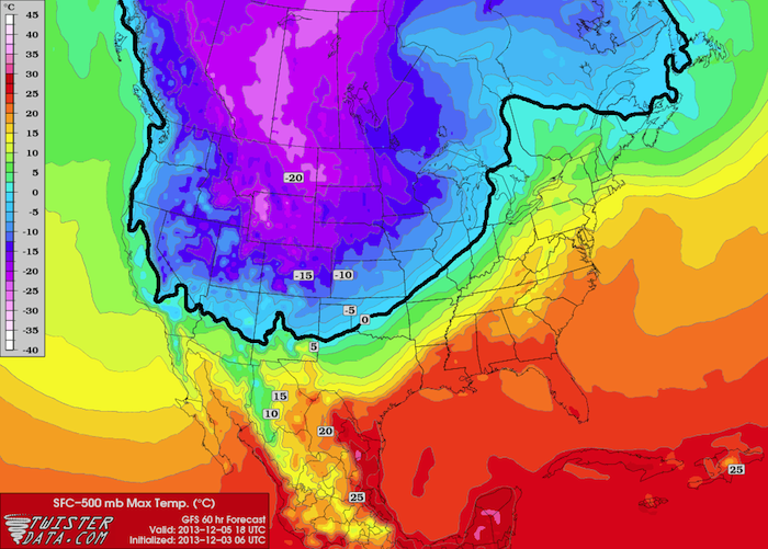
A very powerful arctic cold front will be impacting much of the lower 48 this week, bringing the coldest air in over a year to much of the plains. Several waves of jet stream energy will come out across Oklahoma between Thursday and Monday, resulting in all sorts of winter […]
Read MoreQuick Update: Thanksgiving East Coast Storm
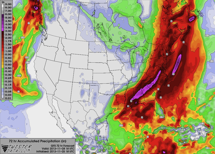
Surface observations this morning show the surface low centered over New England, with a cold front extending from near the MA/RI/CT Triple Point southwestward, closely following the coastline to near Jacksonville, FL (the front is just offshore). Rhode Island and southeast Massachusetts are still on the warm side of the […]
Read More