Data analytics are becoming an increasingly powerful tool in today’s era of big data. Analytics come in all shapes and sizes, such as business analytics, geospatial analytics, and behavioral analytics. The list goes well beyond just those few examples.
As an expert in data analytics myself, I can’t help but notice an interesting, but disturbing pattern that has emerged recently. Let’s put the statistics side-by-side and let the numbers speak for themselves.
The Good
- Companies’ analytics usage rates rose from 17% to 53% from 2015 to 2017.
- 67% of small businesses report spending more than $10,000 per year on analytics
The Bad
- The number of firms identifying as data-driven fell each year from 2018 to 2020.
- Most companies report that 60 to 73% of their data goes unused for analytics.
If most of your data is going unused, or even worse, if you’re not using analytics at all, you are failing yourself and your company. The lack of analytics can bite your wallet on both sides of your business. You’re likely missing out on leads and sales. In addition, you won’t be able to optimize your operations, which will cost you money in extra, unnecessary expenses.
What are Geospatial Analytics?
Geospatial analytics are one of the most powerful tools your company can use in today’s globalized world. In short, they are simply analytics that are focused around location-based data. They are also one of the least used and most underutilized forms of analytics around the world today. The geospatial analytics market is expected to grow from $52 billion in 2020 to around $200 billion by 2027. You don’t want to miss out.
Not surprisingly, there has been no single event that has exposed the need for geospatial analytics more than the COVID-19 pandemic. Businesses that used analytics to track the movement of COVID-19 around the globe were able to precisely target specific geographic areas to keep cash flowing in during the crisis. Many of those that didn’t, have since gone out of business.
When you think of geospatial analytics, what companies come to mind? Shipping companies such as UPS and FedEx? How about airlines, trains, and bus systems? Sure, the travel and transportation industries rely much more heavily on geospatial analytics than the mom-and-pop coffee shop on the corner. However, every company can greatly benefit from geospatial analytics, regardless of their size or industy.
1. Stop Overpaying for Insurance
In 2019 alone, Americans overpaid for their auto insurance by nearly $37 billion. While algorithms that quote insurance rates are becoming exponentially more complex, location still plays a major role in those calculations.
Consider a scenario where a company is in business delivering goods to people’s homes. For this example, they can be delivering anything from pizzas to furniture. As they expand throughout the country, where you think they’ll pay more to insure their vehicles?
- The narrow, crowded streets of a major city such as Boston or New York
- The wide open prairies in rural Texas or Oklahoma
If your business doesn’t use vehicles, the same concept applies to any type of insurance. Geospatial analytics will allow you to precisely identify the exact risks you need to protect yourself against, wherever you are operating. That way, you don’t have to spend extra money to insure your business against risks it’s not exposed to.
Ironically, the insurance companies also use these exact same analytics and strategy. By evaluating risk based on geospatial analytics, they can maximize the amount they can charge you for coverage.
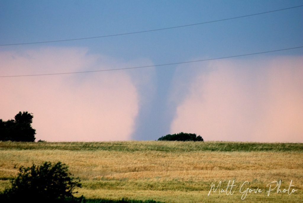
2. Easily Analyze the Impact of Severe Weather Events
A major natural disaster can take down even the most prepared organizations. With proper geospatial analytics, you can greatly minimize the impact of severe weather and natural disasters. You won’t be able to completely eliminate the risk. However, if your analysis done correctly, you’ll be able to continue operations largely uninterrupted when a natural disaster strikes.
Using geospatial analytics, there are so many ways you can reduce the impact of natural disasters.
- Diversify storage of assets and inventory so if one group gets destroyed, you can still use the others.
- Optimize travel and shipping routes to avoid areas that are under imminent threat of severe weather.
- Secure or move property, assets, and inventory that are under imminent threat of severe weather.
- Target your insurance coverage. Don’t pay for coverage your geographic area doesn’t need.
- Create and implement precisely targeted plans to protect your property and business should severe weather strike

Companies that are more prepared for disasters are far more likely to survive should disaster strike. Just have a look at the restaurant industry during the COVID-19 pandemic.
Restaurants that were able to quickly pivot away from relying on dine-in service for income made it through the pandemic largely unscathed. Innovative ideas, such as these restaurants that essentially turned into grocery stores, were a huge hit. On the other hand, many establishments that fought restrictions and continued to rely on sit-down dining are no longer in business.
3. Improve Fraud Detection and Prevention
I was actually able to use geospatial analytics to detect fraud on one of my credit cards before the bank alerted me to it. I had been out running errands and was at my final stop of the day at the grocery store. At the checkout, I discovered that my credit card had stopped working.
No matter how many times I swiped the card, it was declined every single time. Thankfully, I had a second card I could use to pay for my groceries. When I got back to the car, I logged onto my online banking. Low and behold, someone had tried to charge over $1,500 to my credit card at a gas station in Utah. At the time, it had been over 2 years since I had stepped foot in the state of Utah.
As simple as this is, it’s a classic example of using geospatial analytics to detect credit card fraud. How could I be making a series of legitimate purchases in the Phoenix, Arizona area and less than 10 minutes later use the same card at a gas station in Utah? Thankfully, I could easily retrace my steps. My credit card had been used in a skimmer at a gas station a week earlier when I ran an errand in a part of Phoenix I don’t regularly visit.
In addition to credit card fraud, geospatial analytics can easily detect fraud in other industries, especially when cross-referenced against timestamps.
- Insurance Fraud
- Healthcare Fraud
- Abusing government programs such as food stamps or social security
- Tax Fraud and other kinds of financial fraud
4. Optimize Your Marketing and Sales
Geospatial analytics hold an incredible potential to boost your marketing and sales. Segment your target market and organize your customers in to groups with common, unique traits. You’ll be able to promote specific messages to very targeted groups based on demographics.
- Gender
- Age
- Race
- Income Level
- Education Level
- Employment
- Homeownership
- Much More
What does this have to do with geospatial data? After defining the specific demographic groups you want to target, have a look at census tracts or postal codes. For each group, look for census tracts where your target demographics overlap. That’s where you run those very targeted ads and promotions.
Additionally, look beyond just demographics to establish your target market and ideal customer.
- Lifestyle Data
- Behavioral data, such as buying patterns and purchase history
- Relationships between the postal codes of your customers and the location of your stores
When you plot these data on a map, you’ll discover patterns you had no idea existed. Armed with this information, you can execute a laser-focused marketing campaign that maximizes the efficiency of your marketing and boosts your sales.

5. Enhance Logistics, Shipping, and Transportation
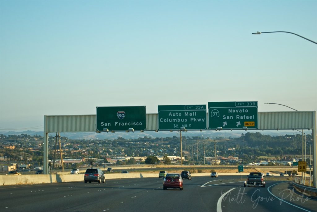
Optimizing location-based operations is the holy grail of geospatial analytics. To get started with this optimization, all you need are GPS sensors and a GIS mapping program. Your goal is to minimize cost while maximizing the efficiency of your transport operations.
Unfortunately, you can’t just stick GPS sensors in your vehicles expect them to optimize themselves. You’ll need geospatial analytics for your optimization. You’ll need to consider several factors.
- Normal traffic patterns
- Current traffic hazards, such as accidents, rush hour congestion, construction, or road closures
- Weather patterns
- Civil or political instability
- How long you plan to be en-route
- How long you plan to stay at your delivery or pick-up point
- Historical data of traveling these routes
It’s also important to note that your optimum route will change depending on what day of the week it is. Additionally, it will even change depending on the time of day. A direct route that goes right through the middle of a major city may be okay in the middle of the day, but it’s likely not the best route at rush hour.

6. Track and Manage Your Assets
Any company that sends technicians into the field should be taking advantage of geospatial analytics. Easily manage your network, quickly respond to outages, and anticipate future needs.
Geospatial analytics really shine when it comes to managing workers in the field.
- Utility and telecom companies optimize the placement of field technicians so they can be dispatched to quickly and efficiently fix problems.
- Delivery and rideshare companies place their drivers to maximize the amount of goods delivered or rides given.
- Law enforcement agencies easily maximize the coverage of their patrols while at the same time minimizing their response times.
- Everyone from the military to farmers and beyond can use geospatial analytics to manage their assets.
7. Augment Safety and Situational Awareness
It’s a scenario that managers, executives, and business owners dread. You arrive at work one morning only to discover that your servers, which contain all of your data, are under a cyber attack. You don’t know where it’s coming from, how widespread it is, or what has already been compromised.
Since you know so little, you have no choice to shut everything down. Such a decision can have a devastating effect on your business. Costs can easily soar into the millions of dollars per day. Without a running server and data, your employees likely won’t be able to work, either, forcing you to either send them home or pay them for doing nothing.
Geospatial analytics cannot prevent such an attack from happening. However, they will let you respond in such a manner so that the impact on your business is hardly noticeable.
Here’s how drastically different this scenario could play out if you used geospatial analytics. After discovering the attack, you’d cross-reference the incoming IP addresses to determine where the attack is coming from. Once you know the geographic scope of the attack, simply blacklist or block the locations that the attack is coming from. Your employees would still be able to show up for work and be productive.
Unfortunately, in the real world, it’s never this simple. Cyber attacks are becoming exponentially more complex. However, with a proper plan, they can still be foiled without having to shut down your entire operation.
I Want to Use Geospatial Analytics. Can You Help Me?
Absolutely! As experts in data analytics and Geographic Information Systems (GIS), geospatial analytics are our bread and butter. If you’re part of that 47% who doesn’t use analytics, stop holding yourself back. Let us help you get started with geospatial analytics today.
Conclusion
We have barely scratched the surface of what you can do with geospatial analytics. There’s so much you can do across all sectors and industries, regardless of how big or small your organization is. Unfortunately, far too many companies are missing out on both boosting revenue and reducing expenses when they shun data analytics.
Without geospatial analytics, you’re missing out on so much potential to improve your company. Even worse, you’re probably wasting money, too. The geospatial analytics market is expected to quadruple in size over the next five to ten years. Don’t get left behind. Let’s get started today.
Top Photo: Morning Sun on the McDowell Mountains
Scottsdale, Arizona – October, 2016
Pingback:6 Ways the Travel Industry Can Use Data Science to Step Up Its Game