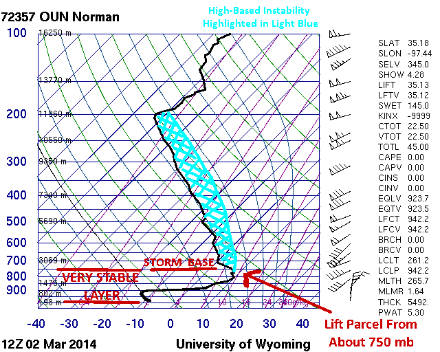
It takes a unique weather setup to generate thundersleet and thundersnow. It takes an even more unique weather setup to generate thunderstorms with surface temperatures of only 12°F. In order to understand these setups, we need to make sense of the concept of an elevated or high base thunderstorm. These […]
Read MoreArticles by: Matt Gove
Oklahoma Thundersleet Part 1: Video and Observations
One of the most spectacular displays of thundersnow and thundersleet I’ve ever seen occurred just south of the Oklahoma City metro this past Sunday. A pretty unique weather setup presented itself as a winter storm passed over the area, creating favorable conditions for thunderstorms despite surface temperatures around 12°F. A […]
Read MoreBeautiful and Impressive Storm Coming Ashore in California
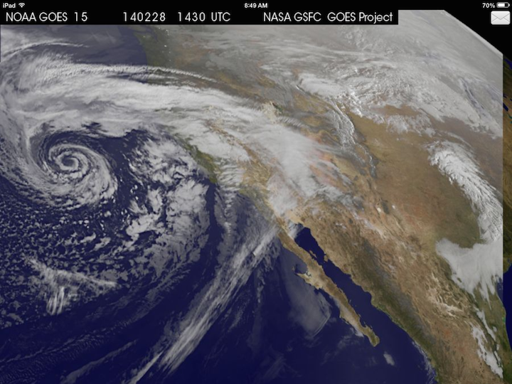
Cloudy with a change of cinnabons? No, Jim Gaffigan is not coming to your neighborhood. Nor will tasty baked goods be falling from the sky (how awesome would that be though). Instead, one of the most impressively beautiful and textbook upper-level mid-latitude storm systems in recent years is currently coming […]
Read MoreAn Interesting Perspective of the Moore Tornado Path
The first time I crossed the path of the May 20, 2013 Moore tornado at night I was really taken aback. Both sides of I-35 the entire way through Moore are normally lined with shops, strip malls, entertainment venues, and hotels, and are normally all lit up at night. The […]
Read MoreWinter Weather Outlook for Sunday Through Tuesday
I am watching two possible areas for winter weather over the next three to four days. The first is a coastal storm that may bring some gusy winds and light snow to the northeast Sunday, and the other is an upper-level storm system that could bring more snow and ice […]
Read MoreA Look at the East Coast Weather for the Next Week
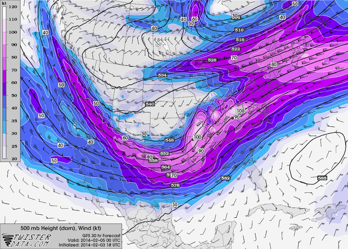
A pattern shift in the jet stream has let Feburary start with quite a bang after a pretty quiet January. A series of winter storms that has come through and will be coming through Oklahoma this week will be impacting parts of the east coast as well. Tuesday, February 4th: […]
Read MoreRare Winter Storm to Impact the Gulf Coast and Deep South
A powerful Arctic cold front will collide with rich Gulf of Mexico moisture to bring a plethora of wintry mess to the Gulf Coast before continuing on to the Georgia and Carolina coasts. Behind the frontal passage this evening, temperatures will quickly plunge into the 20s and 30s along the […]
Read MorePhoto Tips: Secrets to Spectacular Sunset Photography
Well, we are now into the heart of winter, which also somewhat ironically means that for many locations we are at the best time of year for viewing and photographing sunsets. While many associate sunsets with warm weather, the cooler and drier air during the wintertime actually cuts down on […]
Read MoreAnother Tricky Winter Forecast for Oklahoma
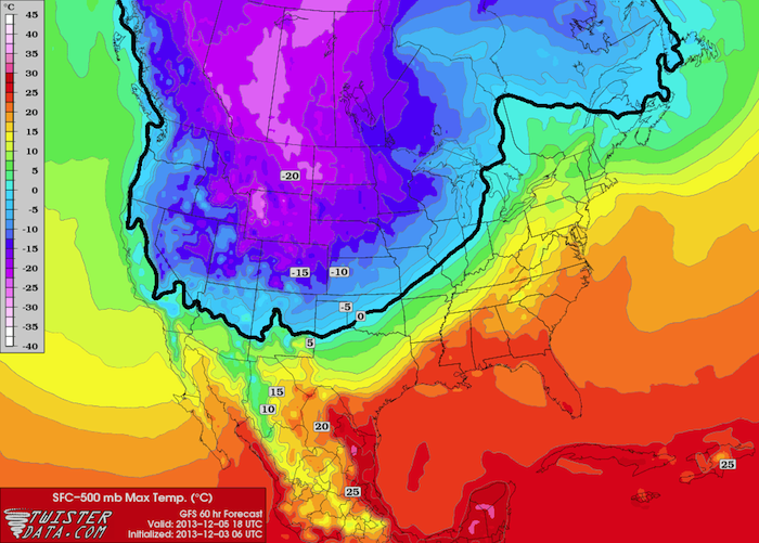
A very powerful arctic cold front will be impacting much of the lower 48 this week, bringing the coldest air in over a year to much of the plains. Several waves of jet stream energy will come out across Oklahoma between Thursday and Monday, resulting in all sorts of winter […]
Read MoreQuick Update: Thanksgiving East Coast Storm
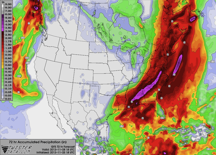
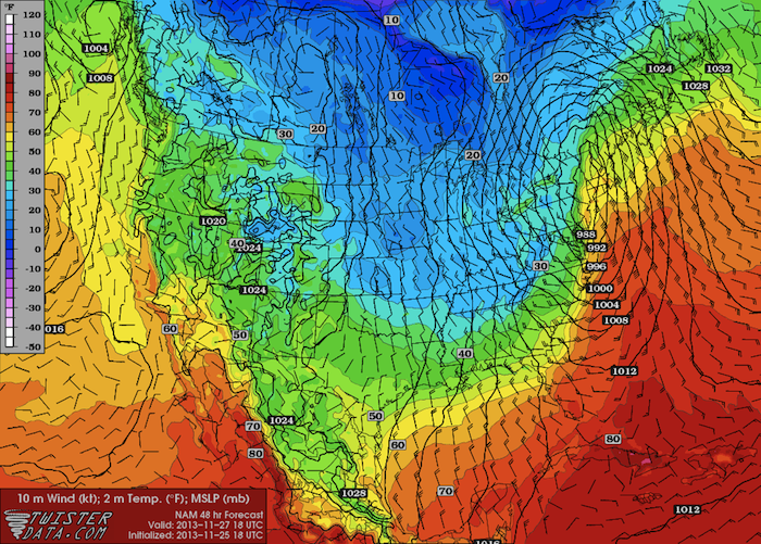
Surface observations this morning show the surface low centered over New England, with a cold front extending from near the MA/RI/CT Triple Point southwestward, closely following the coastline to near Jacksonville, FL (the front is just offshore). Rhode Island and southeast Massachusetts are still on the warm side of the […]
Read MoreMorning Update: Thanksgiving East Coast Storm
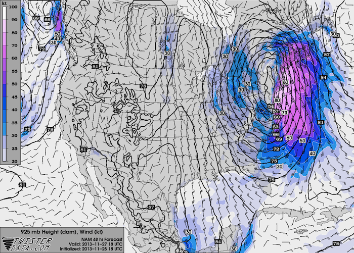
Hi all. Just checking in with a quick morning update. Everything from last night’s forecast is still right on track. This morning’s model runs are showing the strongest winds across coastal areas southern and eastern New England, including Massachusetts, Rhode Island, and much of Connecticut. This swath of strong winds will shift […]
Read MoreCoastal Storm Getting Set to Impact the East Coast
The low that will become the first nor’easter of this winter season is getting set to pop out off the Georgia coast, upon which it will wind up and head right up the east coast. The good news is that the wind and precipitation will be confined primarily to the […]
Read More