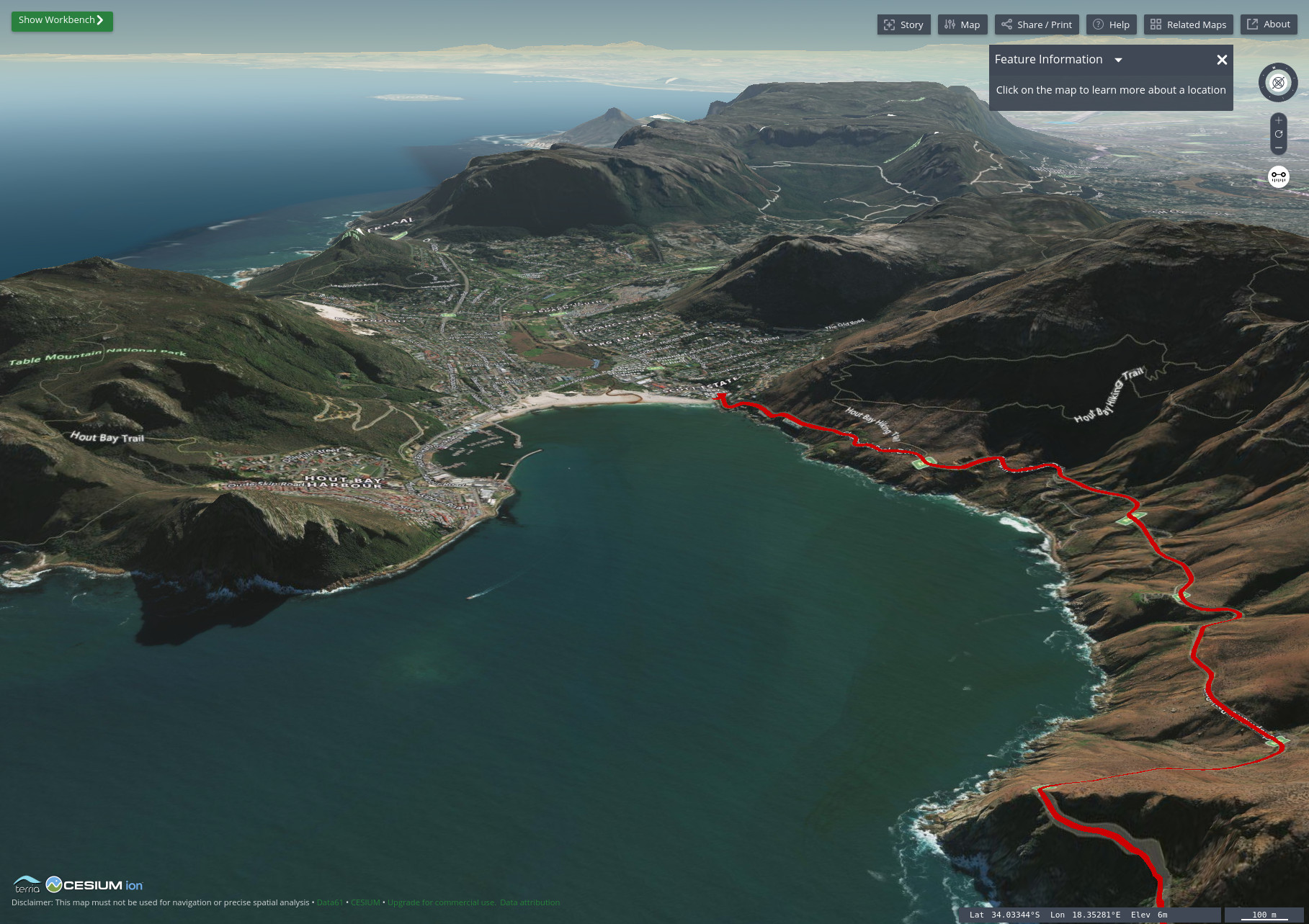
Interactive maps are one of the most powerful tools available to travel bloggers today. Unfortunately, far too many travel bloggers today are either using interactive maps incorrectly or not using them to their full potential. As a GIS expert, data scientist, and travel blogger myself, it pains me greatly when […]
Read MorePost Tagged with: "Terria"
How to Automate Region Mapping in TerriaJS with 49 Lines of Python
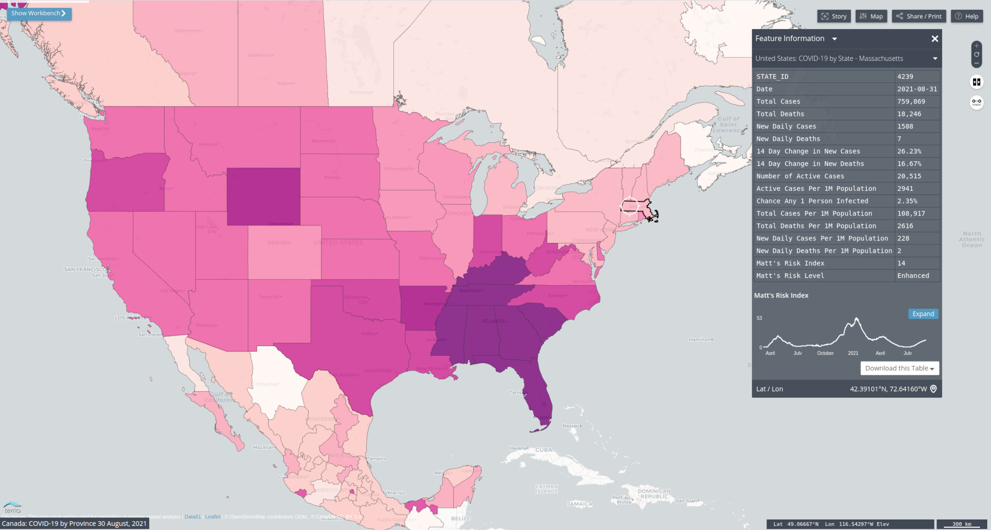
A little over a month ago, we examined the benefits of using region mapping in your TerriaJS applications. Region mapping allows you to reduce your GIS application’s data usage by over 99%, permitting you to display massive datasets on two and three-dimensional maps that load quickly and are highly responsive. […]
Read MoreHow to Set Up and Automate Region Mapping in Terria
In today’s media-rich internet, load times are critical to your web application’s success. There is no industry for which that rings true more than the online mapping and GIS community. In the past, even small to medium-sized datasets were notorious for crippling web-based GIS applications and crashing web browsers. Thankfully, […]
Read More

