Last week, using Python GeoPandas, we generated two simple geographic maps from an ESRI Shapefile. After plotting a simple map of the 32 Mexican States, we then layered several shapefiles together to make a map of the Cone of Uncertainty for Hurricane Dorian as she brushed the coast of Florida, […]
Read MorePost Tagged with: "Tutorial"
Python GeoPandas: Easily Create Stunning Maps without a GIS Application
Python is the world’s third most popular programming language. It’s also one of the most versatile languages available today. Not surprisingly, Python has incredible potential in the field of Geographic Information Systems (GIS). That potential has only barely begun to get tapped with libraries like GeoPandas. In the past, we’ve […]
Read MoreLearn Python the Fun Way: A Simple Rock-Paper-Scissors Game
Python is currently one of the most in-demand and versatile programming languages out there. Because it’s so heavily used across so many different industries, sectors, and technologies, that trend is expected to continue for the foreseeable future. Python is also one of the easiest programming languages to learn. Learning Python […]
Read More7 Steps to the Perfect Lightning Photo
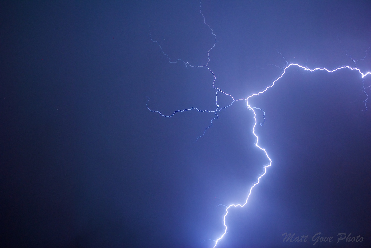
Since my last couple posts were very technical, let’s have a little more fun today. The summer monsoon in Arizona has given us a little bit of everything this year, including some incredible dust storms and lightning displays. We’ve all seen the jaw dropping lightning photos that get highlighted on […]
Read MoreTutorial: Add Data from a NetCDF File to a Pure Python GIS Solution
We recently looked at how to perform basic GIS functionalities using pure Python. In this tutorial, we will take that to the next level, and add meteorological data from a NetCDF file. If you don’t know what a NetCDF file is, that’s perfectly fine. It stands for Network Common Data […]
Read MoreTutorial: Basic GIS Functionalities Using Pure Python
Did you know that you can do simple GIS operations and analysis using nothing but Python? Python’s very popular matplotlib library has mapping capabilities built into it. It’s certainly not a substitute for a true GIS application such as ESRI ArcGIS. However, if all you need is that basics, it […]
Read MoreHow to Set Up a Website and Database to Support Multiple Languages
In today’s global economy, as more and more business gets done across international borders, many organizations are finding the need to support multiple languages on their websites. And here, I’m not talking about programming languages, I’m talking about languages such as English, Spanish, and Chinese. Today, I’m going to be […]
Read MoreA Dual Pol Radar Tutorial: The Vilonia, Arkansas Tornado
Dual polarization radar is an incredibly powerful tool for tracking severe weather. One important use for dual-pol radar is to track strong tornadoes by detecting the debris field with the radar. Similar to the Moore tornado last year, the April 27, 2014 Vilonia, Arkansas tornado passed about 10 miles north […]
Read MorePhoto Tips: Secrets to Spectacular Sunset Photography
Well, we are now into the heart of winter, which also somewhat ironically means that for many locations we are at the best time of year for viewing and photographing sunsets. While many associate sunsets with warm weather, the cooler and drier air during the wintertime actually cuts down on […]
Read MoreBasic Physics and Dynamics of a Tornado
Ever wonder what goes on inside a tornado? If you cut it all down to just basics, it’s pretty simple. A tornado is just a column of air violently rotating around an area of low pressure (how they form will be discussed at some future date). They work in the […]
Read MoreWhat Is the Difference Between a Tornado and a Landspout
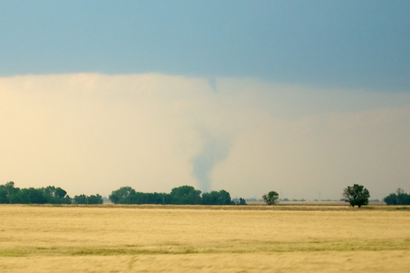
On May 19, 2012, I observed and photographed a landspout and two tornadoes near Harper, Kansas. The term “landspout” is not used very often so I will attempt to explain what it means and how it differs from a tornado. Tornadoes Most tornadoes are driven by a mesocyclone in a […]
Read MoreHow to Photograph Lightning
Photographing lightning can be challenging, but is very rewarding. You can try to aim the camera at the sky and push the button when you see the lightning flash, but in 4 years of photographing lightning, I have been successful at that method a grand total of once. The human […]
Read More
