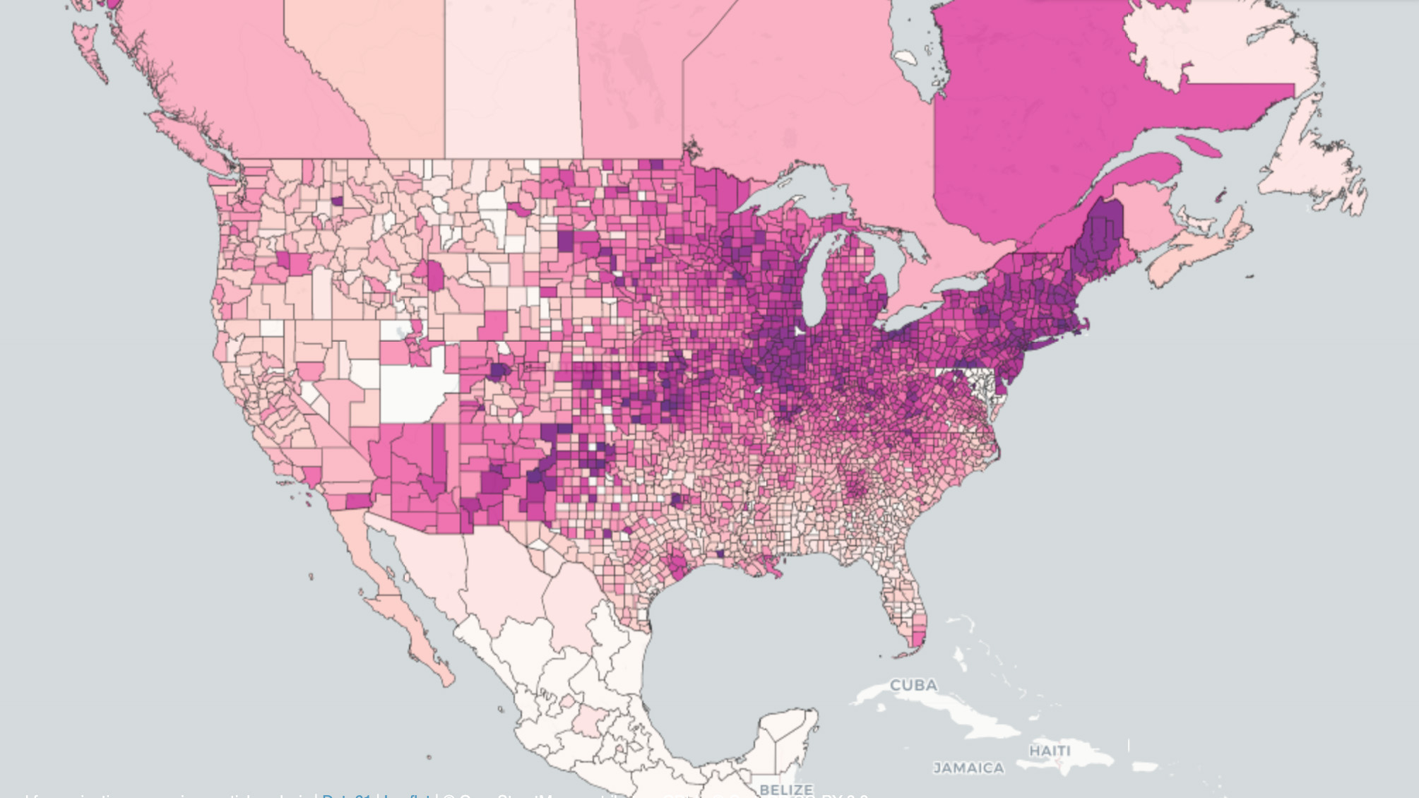
Well, I managed to time my last COVID update so that it was published the day South Africa announced it had discovered the heavily mutated omicron variant. Does omicron change anything from that update? A little bit, sure. However, those end-of-the-world omicron outlooks you see online and in the media […]
Read MoreArticles by: Matt Gove
The HRRR Weather Model: How To Add Dramatic Skies To Your Landscape Photography
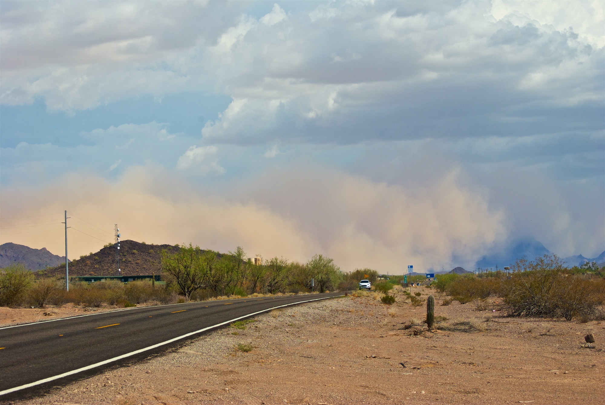
There can be a fine line between weather and landscape photography and videos. And it’s a line that I’ve both toed and crossed many times. When I first started storm chasing, the goal was simple: capture some of Mother Nature’s most powerful, yet beautiful creations. Interestingly, when I shifted from […]
Read More6 Powerful Weather Apps for Stunning Landscape Photography
Weather apps are one of the most powerful tools to use in your landscape photography and travel videos. To demonstrate, let’s go back to my storm chasing days in Oklahoma. You get up in the morning and the day looks ripe for tornadoes. It’s a rare high risk day – […]
Read MoreThe Fuck-It Bucket: How to Live Your Best Life and Realize Your Dreams
Today, I want to introduce you to the Fuck-It Bucket. It revolutionized my world, and I want to teach you how to let it revolutionize yours. After two years of the COVID-19 pandemic, we’re all wondering how we’re going to live our best lives and make up for lost time. […]
Read MoreWeird Geography: 10 Bizarre and Unusual Facts About Chile
With such an unusual shape, there is no shortage of bizarre and unusual facts about Chile. It’s a country that nobody hears much about, yet you get the impression that it’s still largely misunderstood. It’s a land of wild extremes, not just in terms of geography, but also for climate […]
Read MoreIs the United States Nearing the End of the COVID-19 Pandemic? Model Predictions May Surprise You.
As the COVID-19 pandemic grinds on towards its two-year anniversary, we’re all wondering when it will finally end. As vaccines fully rolled out to the general public last spring, the United States managed to get new case loads below 10,000 per day. But then the Delta Variant came along. Just […]
Read MoreTravel Journal: Post-COVID Adventures Kick Off in New York City
Post-COVID travel. It’s a phrase we’ve all been waiting 20 months to finally say. As we cautiously emerge from under its shadow, the pandemic has done funny things to warp our sense of time. On one hand, my final pre-COVID adventure across Mexico, the US, and Canada feels like it […]
Read MoreA Meteorological Analysis of Massachusetts’ Stunning Bomb Cyclone Damage
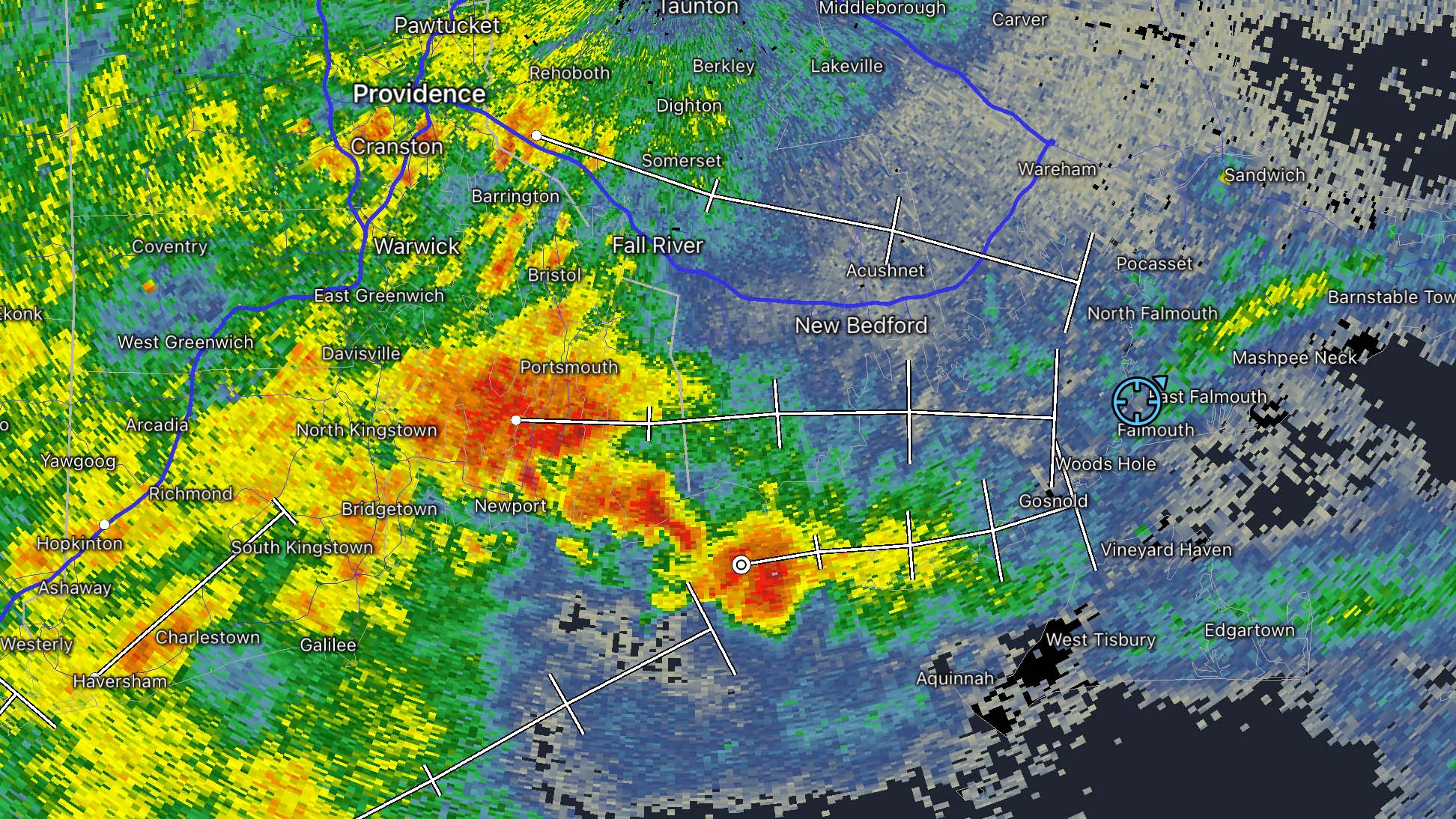
On 27 October, 2021, a monster bomb cyclone hit southeast Massachusetts. The storm left an incredible path of downed trees and snapped power poles in its wake. Wind gusts on Cape Cod and the Islands very likely exceeded 100 mph. Provincetown recorded a peak gust of 97 mph before the […]
Read MoreHow to Boost Your GIS Productivity with Python Automation in 5 Minutes
Python Automation is one of the most powerful ways to improve your GIS workflow. In the past, many tasks in traditional GIS applications have had minimal support for writing your own code, and often required crude hacks to install obscure libraries. As Python has rapidly grown in both functionality and […]
Read More7 Weather Forecasting Models That Will Improve Your Landscape Photography
As a former storm chaser, weather and meteorology have greatly influenced my career, values, and philosophy. Nowhere is that more true than in my photography. Even though I was only a hobbyist photographer at the time, storm chasing was clearly the turning moment when I realized my photography skills were […]
Read MoreThe Complete Travelers’ Guide to Rue Canusa
Rue Canusa, or Canusa Street as it’s known in English, is both a modern oddity and an homage to simpler, more unified times along the US-Canada border. Named for the two countries it separates, it’s one of the only places in the world where you can drive down the street […]
Read MoreHow to Automate Region Mapping in TerriaJS with 49 Lines of Python
A little over a month ago, we examined the benefits of using region mapping in your TerriaJS applications. Region mapping allows you to reduce your GIS application’s data usage by over 99%, permitting you to display massive datasets on two and three-dimensional maps that load quickly and are highly responsive. […]
Read More