Have you ever heard the expression “Measure Twice, Cut Once”? It’s commonly used in woodworking and carpentry. It’s a reminder to always double and triple-check your measurements when you cut a piece of wood. You’d be amazed at how many times you screw it up. Well, let me tell you […]
Read MorePost Tagged with: "Python"
Troubleshooting a Raspberry Pi Sensor Gone Awry
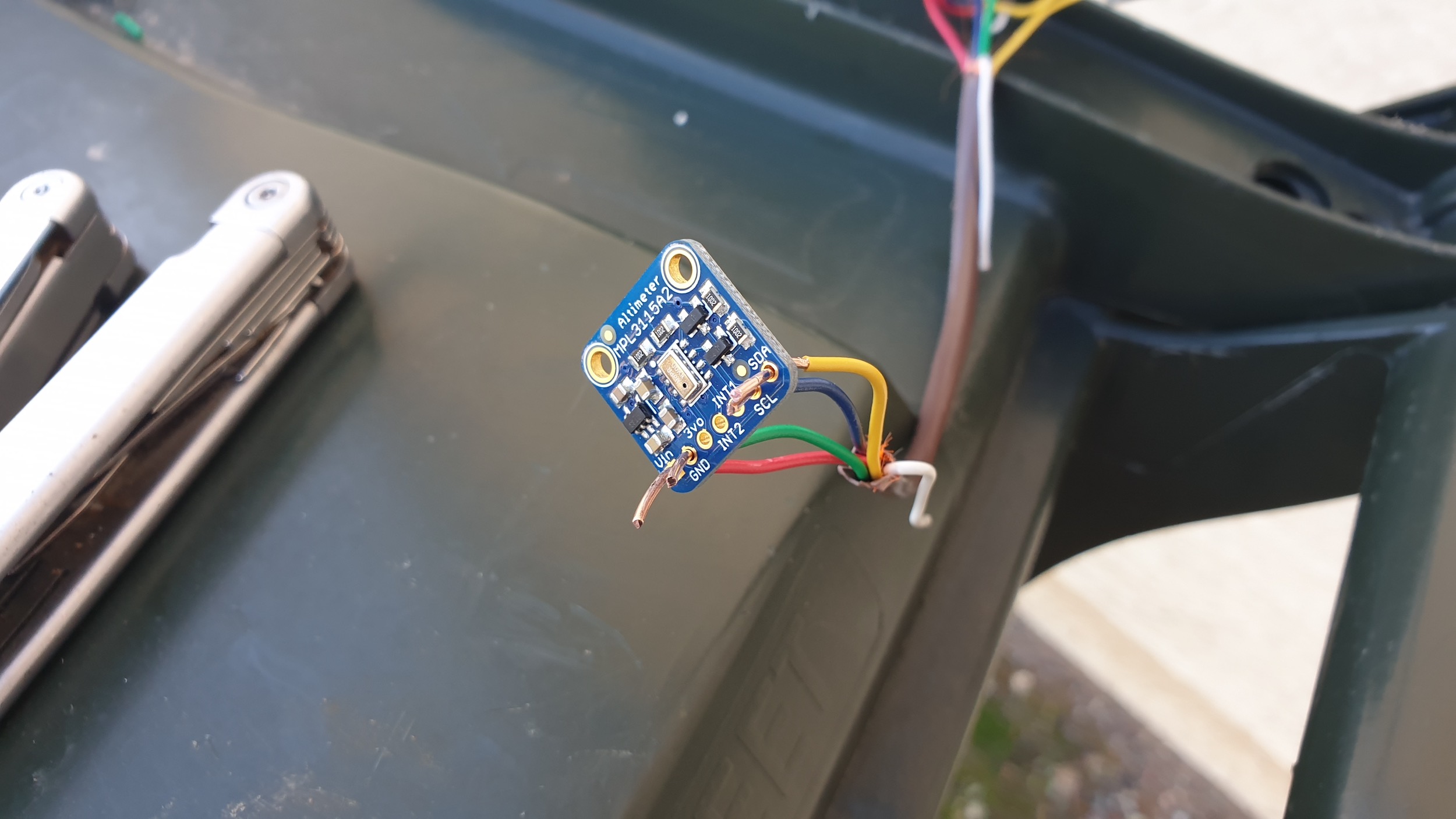
A couple years ago, I built a weather station using a network of Raspberry Pi’s. It obtained data from Weather Underground and the National Weather Service. Last spring, I finally added temperature, humidity, and barometric pressure sensors to the weather station. I have plans to add rain and wind sensors […]
Read MoreMathematics of the Woodpecker Deterrent System
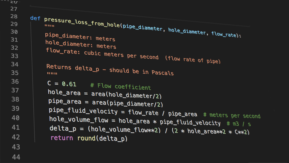
Well, this is the moment of truth. It’s time to calculate the pressure loss from a leak to see if this crazy idea for deterring woodpeckers will actually work. The idea is that the woodpecker deterrent will connect to my outdoor hose spigots, which hopefully will provide ample water pressure […]
Read MoreDIY Weather Station, Part 4: Database Configuration and Programming the Sensor Readings
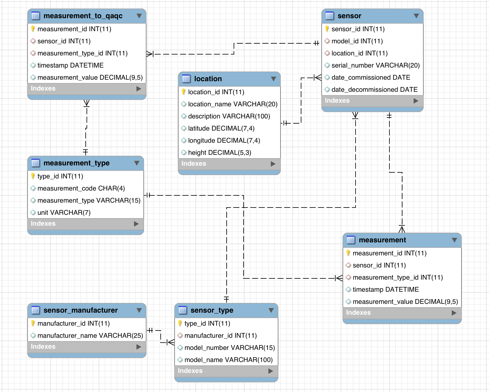
Wow, it’s hard to believe that the hardware for taking sensor readings for the DIY weather station is finally all in place. Now, it’s time to dive into the programming and the software end of things that makes everything click. The software for the sensor and the data logger consists […]
Read MoreDIY Weather Station, Part 3: Installing the Data Logger and Connecting the Sensors
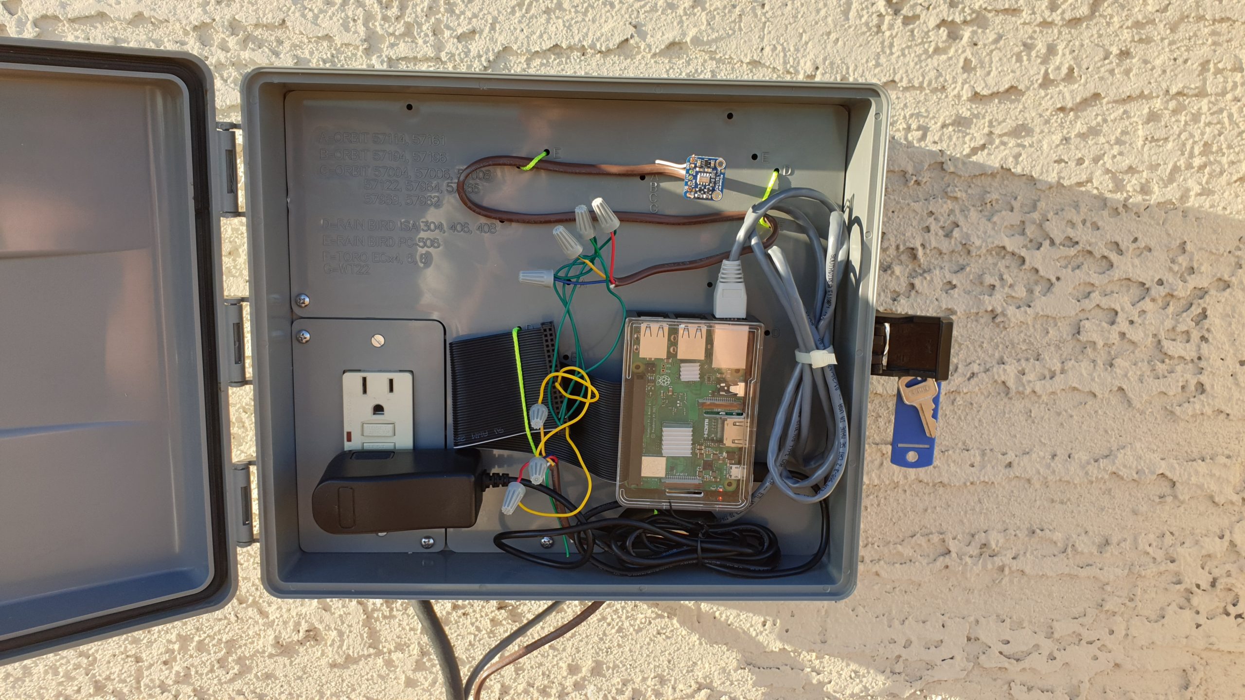
For our DIY Weather Station, we’ve built our sensor housings and run power and internet out to the data logger site. It’s time to install the data logger and hook up our sensors. Thankfully, this is much easier than getting power and internet to the site. First, let’s take a […]
Read MoreTutorial: Add Data from a NetCDF File to a Pure Python GIS Solution
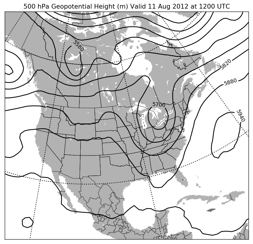
We recently looked at how to perform basic GIS functionalities using pure Python. In this tutorial, we will take that to the next level, and add meteorological data from a NetCDF file. If you don’t know what a NetCDF file is, that’s perfectly fine. It stands for Network Common Data […]
Read MoreTutorial: Basic GIS Functionalities Using Pure Python
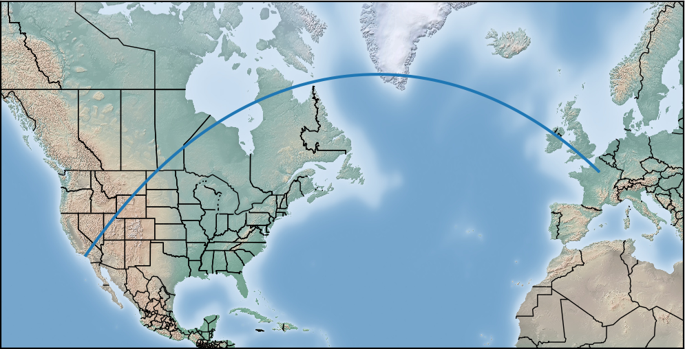
Did you know that you can do simple GIS operations and analysis using nothing but Python? Python’s very popular matplotlib library has mapping capabilities built into it. It’s certainly not a substitute for a true GIS application such as ESRI ArcGIS. However, if all you need is that basics, it […]
Read More