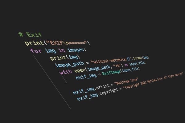
Keeping up-to-date EXIF data is critically important for managing large libraries of photos. In addition to keeping your library organized, EXIF data also lets you sort, filter, and search your photo library on numerous criteria, making it easy to find the images you want, and fast. Unfortunately, many photographers, including […]
Read MorePost Tagged with: "Python"
How to Remove Noise from Photos with 14 Lines of Python…and Blow Lightroom Out of the Water
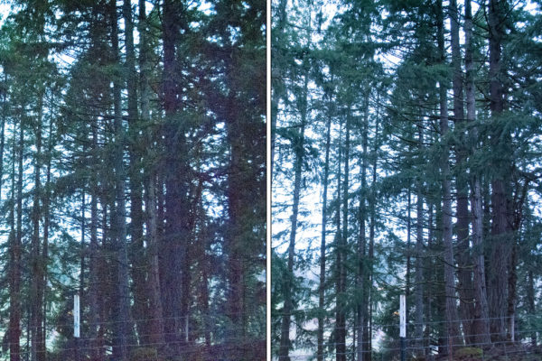
As a photographer, you will run into the frustration of noise in their low-light photos and having to remove it at some point. It’s a much of a guarantee as taxes and death. No matter what you do in post processing, it seems like every adjustment you make only makes […]
Read MoreHow to Boost Your GIS Productivity with Python Automation in 5 Minutes
Python Automation is one of the most powerful ways to improve your GIS workflow. In the past, many tasks in traditional GIS applications have had minimal support for writing your own code, and often required crude hacks to install obscure libraries. As Python has rapidly grown in both functionality and […]
Read MoreHow to Automate Region Mapping in TerriaJS with 49 Lines of Python
A little over a month ago, we examined the benefits of using region mapping in your TerriaJS applications. Region mapping allows you to reduce your GIS application’s data usage by over 99%, permitting you to display massive datasets on two and three-dimensional maps that load quickly and are highly responsive. […]
Read More13 Stunning Examples Showing How Easy It Is to Spread Disinformation without Manipulating Any Data
The spread of disinformation and fake news seems like it’s about as American as apple pie these days. As a data scientist, it’s beyond horrifying watching so much disinformation rip through every facet of our society like wildfire. Sure, you grow to expect it from the idiots on the internet. […]
Read MorePython Tutorial: How to Create a Choropleth Map Using Region Mapping
Several weeks ago, you learned how to create stunning maps without a GIS program. You created a map of a hurricane’s cone of uncertainty using Python’s GeoPandas library and an ESRI Shapefile. Then you created a map of major tornadoes to strike various parts of the United States during the […]
Read MoreColor Theory: A Simple Exercise in Mathematics and Graphic Design
We are exposed to color theory every single day of our lives. Most of the time, we don’t think twice about it. However, did you know that judgements of your credibility are 75% based on the design of your website? First impressions are 94% related to the look and design […]
Read MoreThe Ultimate in Python Data Processing: How to Create Maps and Graphs from a Single Shapefile
Last week, using Python GeoPandas, we generated two simple geographic maps from an ESRI Shapefile. After plotting a simple map of the 32 Mexican States, we then layered several shapefiles together to make a map of the Cone of Uncertainty for Hurricane Dorian as she brushed the coast of Florida, […]
Read MorePython GeoPandas: Easily Create Stunning Maps without a GIS Application
Python is the world’s third most popular programming language. It’s also one of the most versatile languages available today. Not surprisingly, Python has incredible potential in the field of Geographic Information Systems (GIS). That potential has only barely begun to get tapped with libraries like GeoPandas. In the past, we’ve […]
Read MoreLearn Python the Fun Way: A Simple Rock-Paper-Scissors Game
Python is currently one of the most in-demand and versatile programming languages out there. Because it’s so heavily used across so many different industries, sectors, and technologies, that trend is expected to continue for the foreseeable future. Python is also one of the easiest programming languages to learn. Learning Python […]
Read MorePhotographers: Here’s How to Boost Your Income with Python Automation
Post-processing photos following a photo shoot is a fun and enjoyable process. It’s actually one of my favorite parts of my entire photography workflow. Unfortunately, the process can become tedious and time-consuming, costing you both time and money. Today, you’re going to learn about the Python Pillow library. It’s a […]
Read MoreA 15-Minute Intro to Supercharging Your GIS Productivity with Python
Geographic Information Systems (GIS) and mapping applications are one of the most underrated uses of the Python programming language. Python integrates easily with many desktop and web-based GIS programs, and can even create simple maps on its own. You can supercharge your GIS productivity in as little as 10 minutes […]
Read More