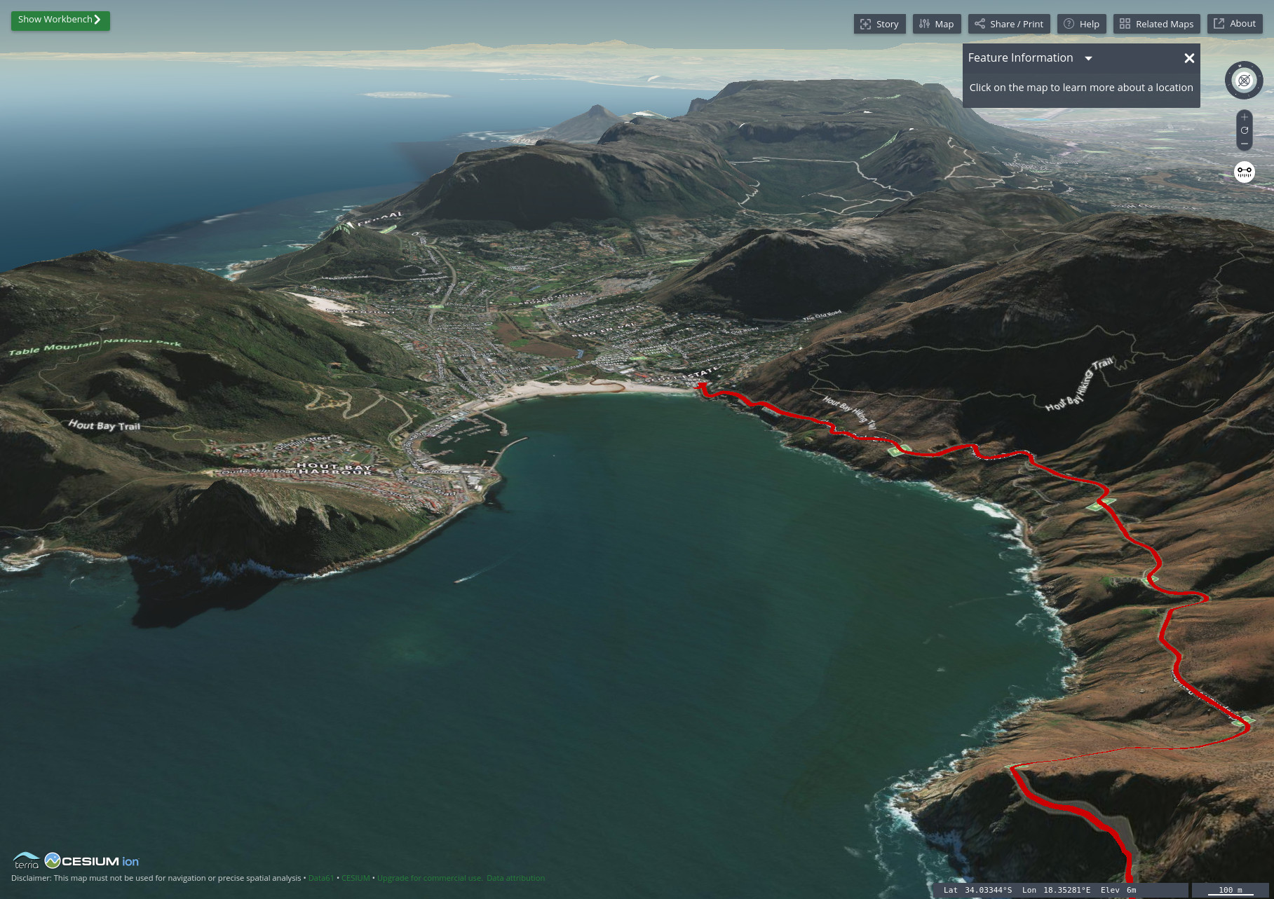
Custom, branded maps are one of the best ways you can stand out from your competition, especially in the world of travel and content creation. With so many people, groups, and organizations still relying on products like Google Maps, you’ll not only stand out from the crowd, but also come […]
Read MorePost Tagged with: "Tutorial"
How to Import Shapefiles into Adobe Illustrator
GIS software is an incredibly powerful tool for displaying data on a map. However, they have their limits. And content creators often push well beyond those limits. Thankfully, Adobe Illustrator can help fill that void for creators that GIS programs, which are geared towards a much more technical audience, leave […]
Read MoreHow to Bulk Edit Your Photos’ EXIF Data with 10 Lines of Python
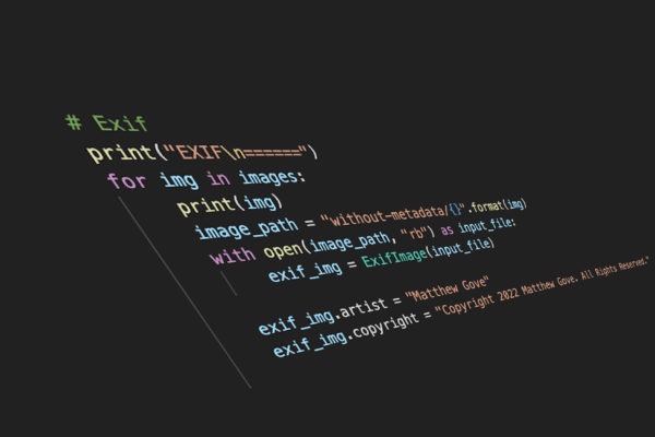
Keeping up-to-date EXIF data is critically important for managing large libraries of photos. In addition to keeping your library organized, EXIF data also lets you sort, filter, and search your photo library on numerous criteria, making it easy to find the images you want, and fast. Unfortunately, many photographers, including […]
Read MoreHow to Geotag Your Photos in Adobe Lightroom Without a Built-in GPS
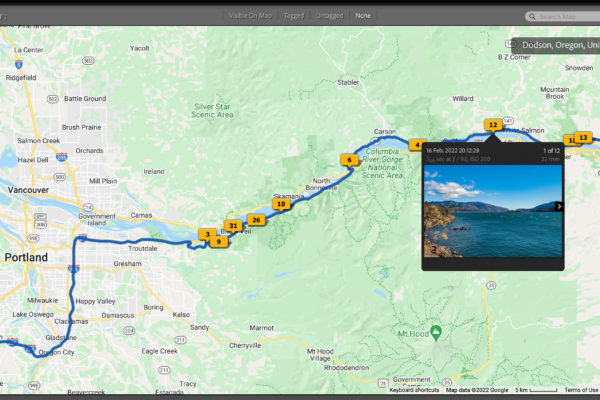
As both a GIS professional and digital nomad, being able to geotag photos is critical to staying organized. With travel photography, you need to be able to search by both date and location, at the very least. But believe it or not, I’ve never owned a camera with a built-in […]
Read MoreHow to Remove Noise from Photos with 14 Lines of Python…and Blow Lightroom Out of the Water
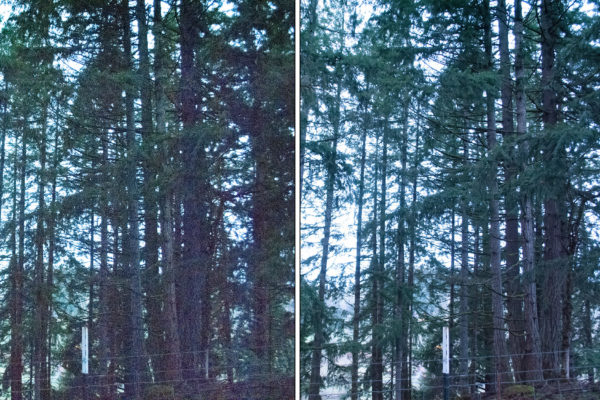
As a photographer, you will run into the frustration of noise in their low-light photos and having to remove it at some point. It’s a much of a guarantee as taxes and death. No matter what you do in post processing, it seems like every adjustment you make only makes […]
Read MoreTravel Bloggers: How to Stand Out with Powerful Interactive Maps
Interactive maps are one of the most powerful tools available to travel bloggers today. Unfortunately, far too many travel bloggers today are either using interactive maps incorrectly or not using them to their full potential. As a GIS expert, data scientist, and travel blogger myself, it pains me greatly when […]
Read MoreHow to Boost Your GIS Productivity with Python Automation in 5 Minutes
Python Automation is one of the most powerful ways to improve your GIS workflow. In the past, many tasks in traditional GIS applications have had minimal support for writing your own code, and often required crude hacks to install obscure libraries. As Python has rapidly grown in both functionality and […]
Read MoreHow to Automate Region Mapping in TerriaJS with 49 Lines of Python
A little over a month ago, we examined the benefits of using region mapping in your TerriaJS applications. Region mapping allows you to reduce your GIS application’s data usage by over 99%, permitting you to display massive datasets on two and three-dimensional maps that load quickly and are highly responsive. […]
Read MoreHow to Use Weather to Take Amazing Landscape Photos
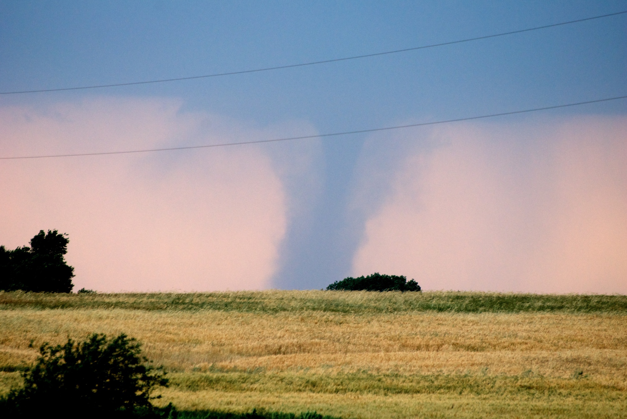
As many of you know, chasing tornadoes and severe storms during my tenure as a meteorology student at the University of Oklahoma heavily influenced both my photography style and my quest for adventure. As a former storm chaser, I believe that there is never a bad time for landscape photography. […]
Read MoreHow to Set Up and Automate Region Mapping in Terria
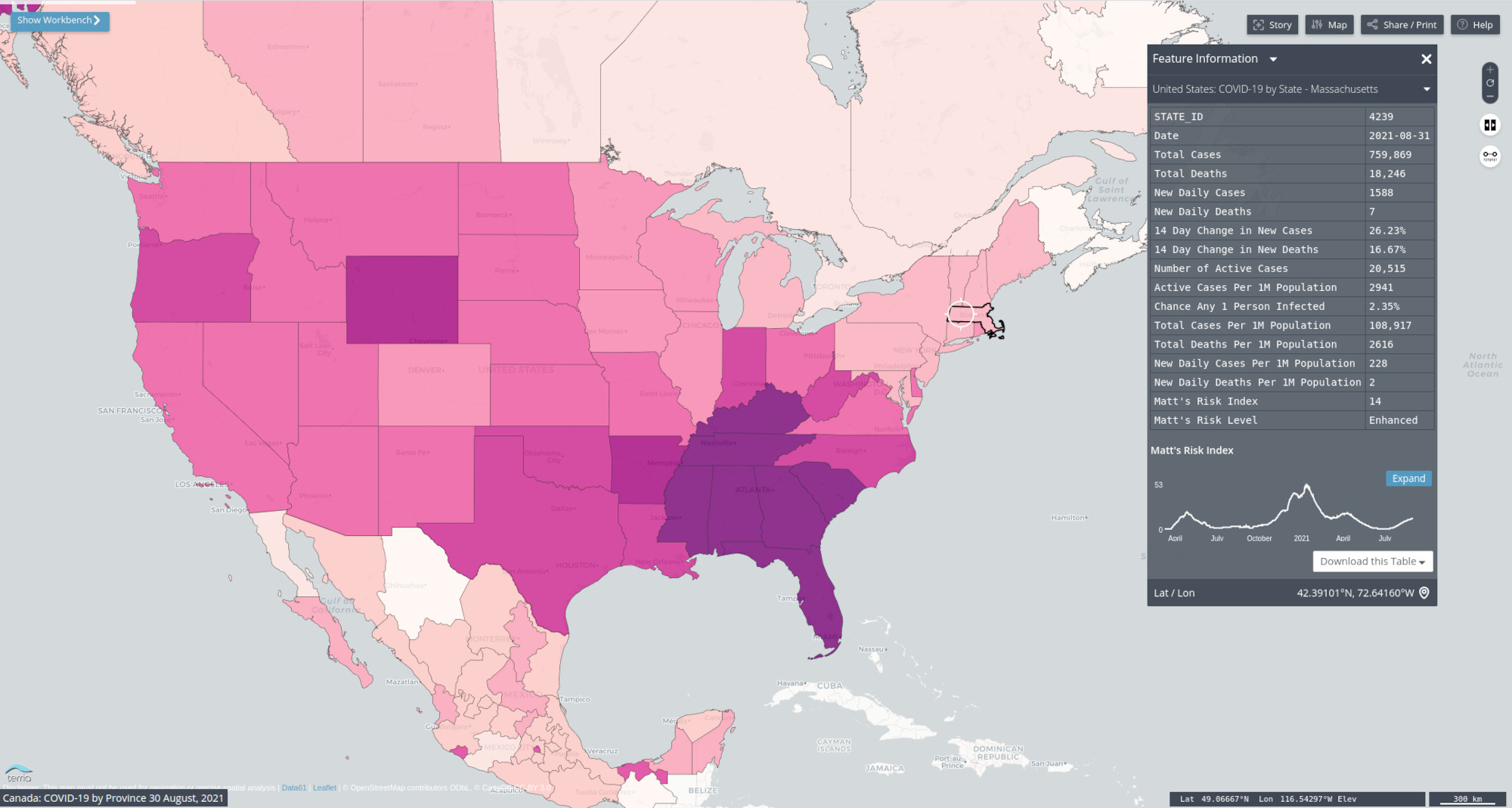
In today’s media-rich internet, load times are critical to your web application’s success. There is no industry for which that rings true more than the online mapping and GIS community. In the past, even small to medium-sized datasets were notorious for crippling web-based GIS applications and crashing web browsers. Thankfully, […]
Read More13 Stunning Examples Showing How Easy It Is to Spread Disinformation without Manipulating Any Data
The spread of disinformation and fake news seems like it’s about as American as apple pie these days. As a data scientist, it’s beyond horrifying watching so much disinformation rip through every facet of our society like wildfire. Sure, you grow to expect it from the idiots on the internet. […]
Read MorePython Tutorial: How to Create a Choropleth Map Using Region Mapping
Several weeks ago, you learned how to create stunning maps without a GIS program. You created a map of a hurricane’s cone of uncertainty using Python’s GeoPandas library and an ESRI Shapefile. Then you created a map of major tornadoes to strike various parts of the United States during the […]
Read More

