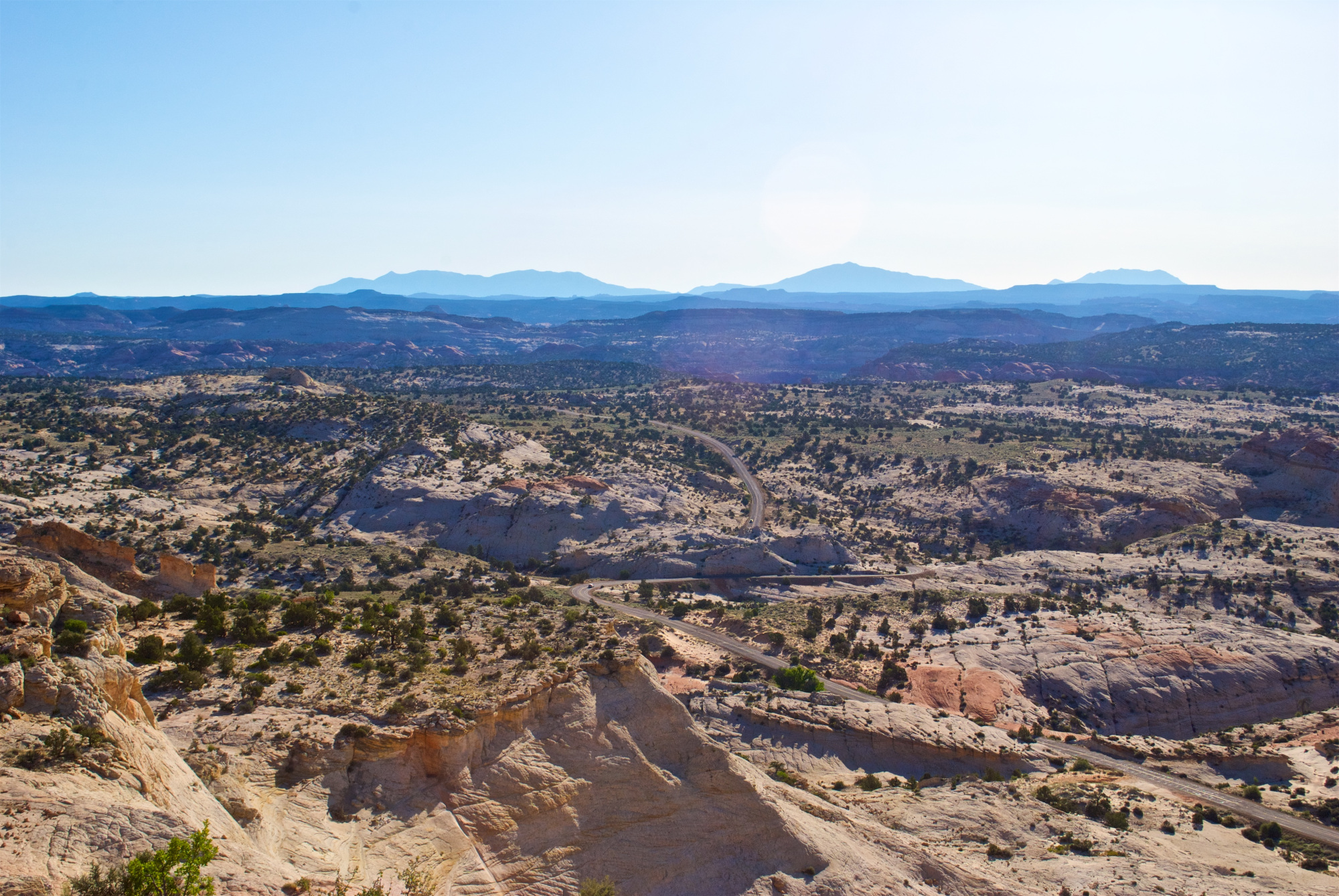
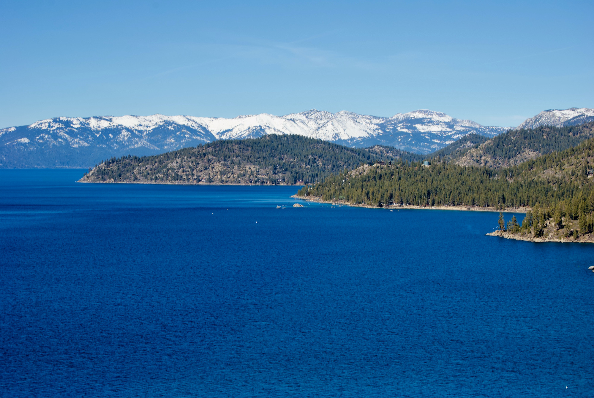
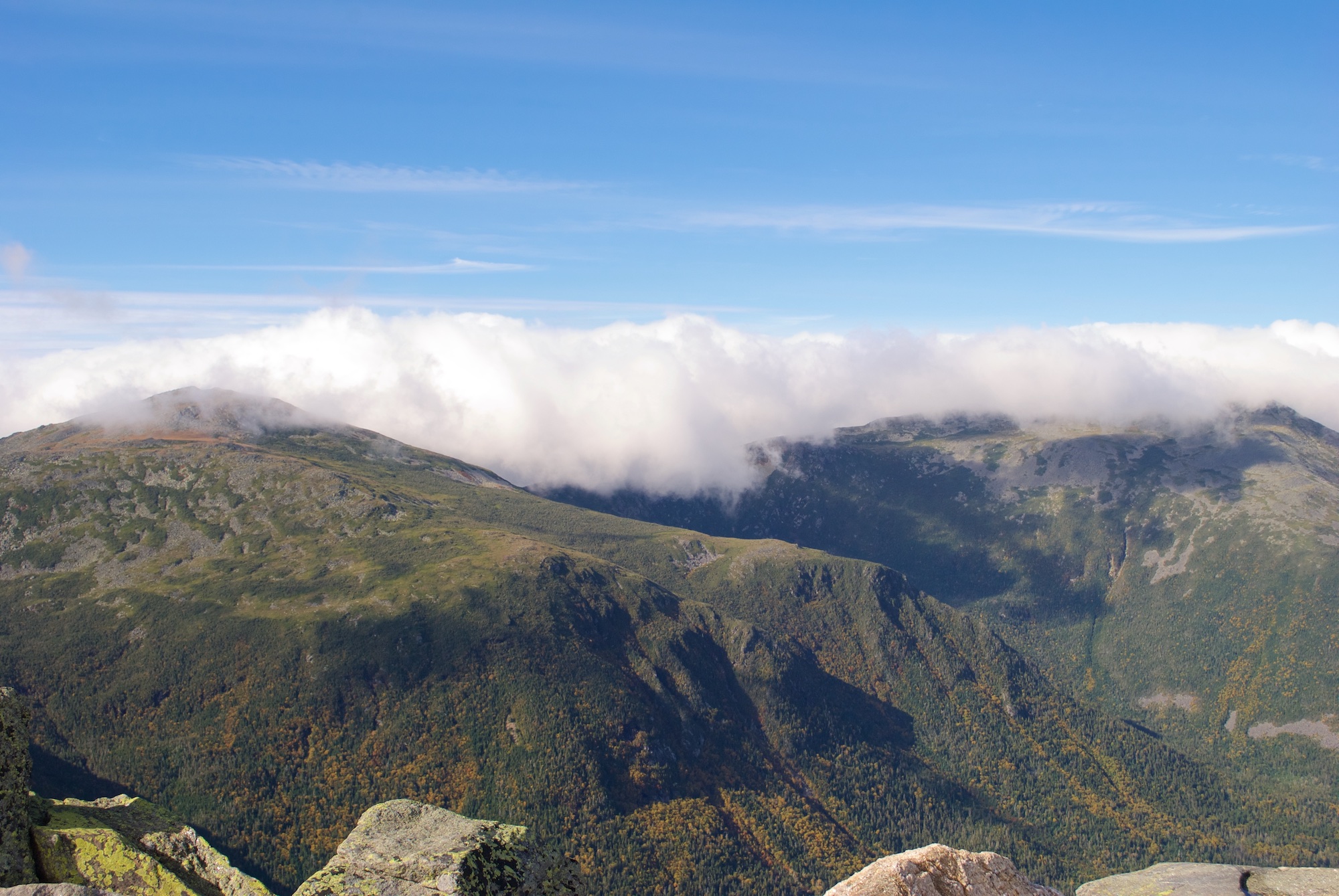
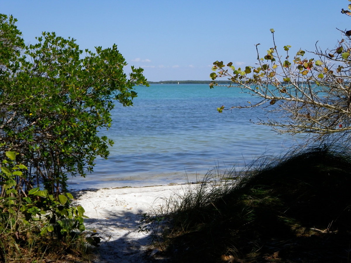
The hero image has been around for decades. However, it didn’t catch on in modern web design until only about 10 or so years ago. If you’re unfamiliar with the term, a hero image is the large banner image you see at the top of websites that takes up most, […]
Read MoreMatthew Gove Web Development
Use web-based maps and data to raise awareness and build an inclusive community around your mission and values both at home and abroad.
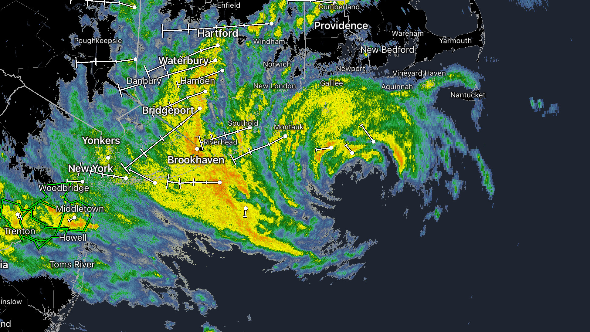
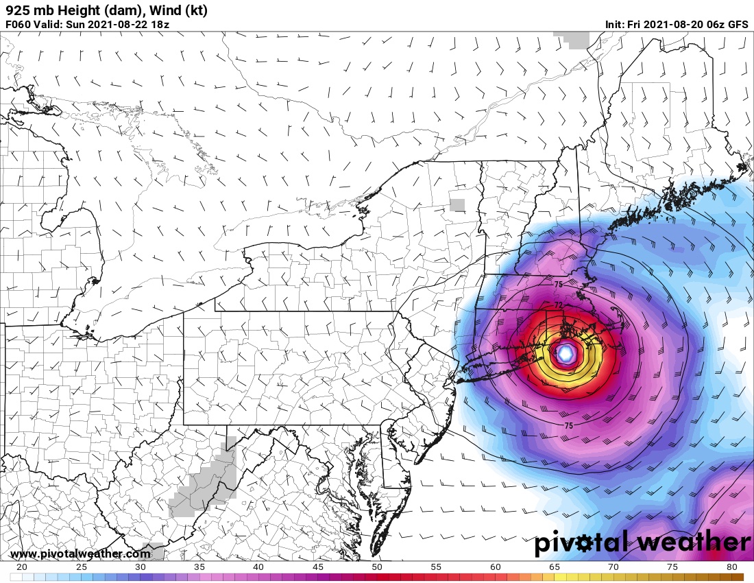
Hurricane Henri in New England: Sunday Morning Outlook
Hurricane Henri is at the doorstep and closing in on its New England target. Its effects are already being felt across all of southern New England. Unfortunately, if you haven’t begun storm prep yet, it’s too late. Conditions will continue to deteriorate across the region throughout this morning and into […]
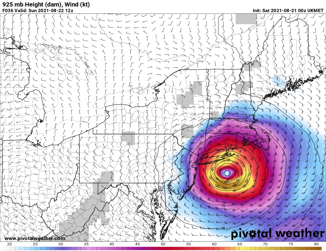
Read MoreHurricane Henri in New England: Saturday Morning Outlook
After a fickle 48 hours of massive track shifts across southern New England, models are finally converging on a solution as Henri trains its crosshairs square on the south coast. The westward march of Henri’s track has stopped, and this morning’s model runs have actually brought the track back to […]
Read MoreHow Bad Will the COVID-19 Delta Surge Get in the United States? Here’s What the Models Say.
Well, that didn’t last long. Our COVID-free summer lasted all of about six weeks. Thanks to the highly contagious Delta variant that first surfaced in India last winter, COVID-19 has come roaring back in the United States. In less than a month, the Delta spike has already surpassed all of […]
Read MoreHurricane Henri in New England: Friday Morning Outlook
Almost 30 years to the day after Hurricane Bob made landfall in Rhode Island, Hurricane Henri is set to be the first storm in a long time to make landfall in New England as a hurricane. If you live anywhere in New England, particularly on the south coast, you need […]
Read MoreWeird Geography: 10 Bizarre and Unusual Facts About Australia
When you think of Australia, the first thing that probably comes to mind is The Land Down Under, kangaroos, or koalas. A country that’s well-known for its warm hospitality and top-notch adventures, Australia attracts visitors from all over the world. As wild as Australia’s frontiers can be, its also has […]
Read More13 Stunning Examples Showing How Easy It Is to Spread Disinformation without Manipulating Any Data
The spread of disinformation and fake news seems like it’s about as American as apple pie these days. As a data scientist, it’s beyond horrifying watching so much disinformation rip through every facet of our society like wildfire. Sure, you grow to expect it from the idiots on the internet. […]
Read MorePython Tutorial: How to Create a Choropleth Map Using Region Mapping
Several weeks ago, you learned how to create stunning maps without a GIS program. You created a map of a hurricane’s cone of uncertainty using Python’s GeoPandas library and an ESRI Shapefile. Then you created a map of major tornadoes to strike various parts of the United States during the […]
Read MoreColor Theory: A Simple Exercise in Mathematics and Graphic Design
We are exposed to color theory every single day of our lives. Most of the time, we don’t think twice about it. However, did you know that judgements of your credibility are 75% based on the design of your website? First impressions are 94% related to the look and design […]
Read MoreWeird Geography: 10 Bizarre and Unusual Facts about the Democratic Republic of Congo
The Democratic Republic of Congo (DRC) is one of the most fascinating countries in the world, with a deeply troubled past. Anthony Bourdain once called it “the most relentlessly fucked over nation in the world”, and also realized a decades long dream when he sailed down the Congo River. If […]
Read MoreThe Ultimate in Python Data Processing: How to Create Maps and Graphs from a Single Shapefile
Last week, using Python GeoPandas, we generated two simple geographic maps from an ESRI Shapefile. After plotting a simple map of the 32 Mexican States, we then layered several shapefiles together to make a map of the Cone of Uncertainty for Hurricane Dorian as she brushed the coast of Florida, […]
Read MorePython GeoPandas: Easily Create Stunning Maps without a GIS Application
Python is the world’s third most popular programming language. It’s also one of the most versatile languages available today. Not surprisingly, Python has incredible potential in the field of Geographic Information Systems (GIS). That potential has only barely begun to get tapped with libraries like GeoPandas. In the past, we’ve […]
Read More